Postcode(s) 3494 Postal code 3494 | Local time Wednesday 5:52 PM | |
 | ||
Location 524 km (326 mi) from Melbourne35 km (22 mi) from Mildura12 km (7 mi) from Nangiloc82 km (51 mi) from Ouyen Weather 32°C, Wind N at 21 km/h, 27% Humidity | ||
Iraak is a town in Victoria, Australia, located approximately 35 km south-east of Mildura, Victoria.
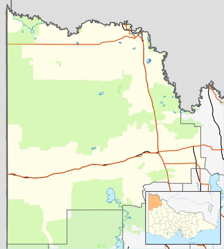
Map of Iraak VIC 3494, Australia
Iraak and nearby localities Nangiloc and Colignan were established as soldier settlement farming areas after World War I, road access to the area being from the west via Boonoonar on what is now the Calder Highway. The Post Office opened on 22 September 1922 the same day as that of Nangiloc, closing in 1960.
As at October 2007, there is no public transport in Iraak.
References
Iraak, Victoria Wikipedia(Text) CC BY-SA
