
Existed: 1913 – present Constructed 1913 | Length 1,756 km | |
 | ||
Major cities | ||
The N-5 or National Highway 5 (Urdu: قومی شاہراہ 5) is a 1756 km national highway in Pakistan, which extends from Karachi in Sindh province to Torkham in the Federally Administered Tribal Areas. The N-5 is the longest national highway in Pakistan and serves as an important north-south road artery, extending through Hyderabad, Moro and Khairpur in Sindh before crossing into Punjab province where it passes through Multan, Sahiwal, Lahore, Gujranwala, Gujrat, Jhelum and Rawalpindi. At Rawalpindi, it turns eastwards and passes through Attock Khurd before crossing the Indus River into Khyber Pakhtunkhwa to continue through Nowshera and Peshawar before entering the Khyber Pass and reaching the border town of Torkham in the Tribal Areas. Its total length is divided into 1021 km in Punjab, 671 km in Sindh, 127 km in Khyber Pakhtunkhwa and the remaining 38 km in the Federally Administered Tribal Areas (FATA). It is managed by the National Highway Authority.
Contents
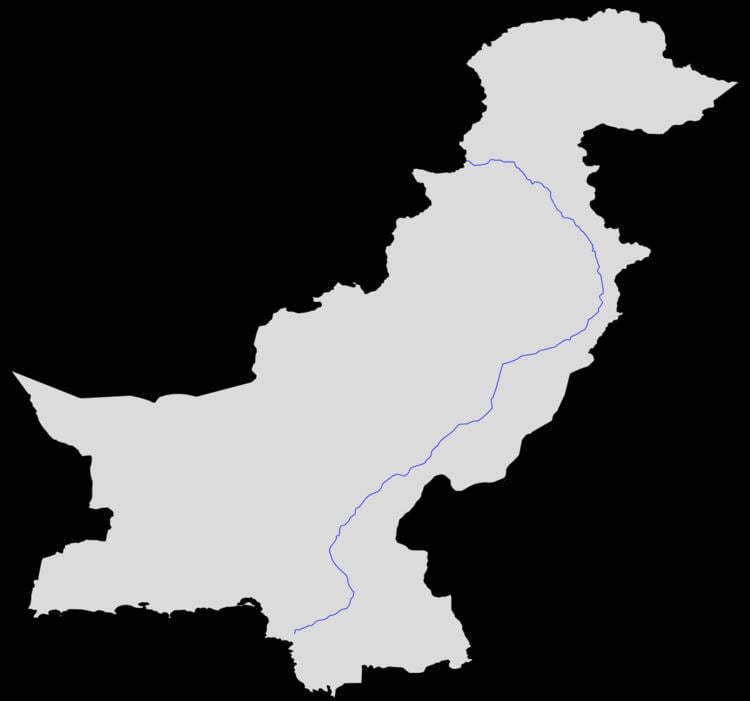
Map of N-5, Pakistan
History
Part of the highway was built on the ancient Grand Trunk Road (commonly known as G.T. Road) which came under jurisdiction of the new state after the independence of Pakistan in 1947. Thus developments of this road took place and in 1990s, the road was converted in an international standard highway.
Route
In Pakistan, the historical Grand Trunk Route extended from Wagha Punjab to Peshawar, Khyber Pakhtunkhwa. In early 1990s, the National Highway Authority merged several highways to form National Highway 5.
Several upgrades took place on these routes in mid-1990s in which N-5 was converted into a 4 lane, 1819 km long highway.