
Time zone CET/CEST (UTC+1/+2) Area 10.01 km² Population 993 (31 Dec 2008) Dialling code 034496 | Elevation 229 m (751 ft) Postal codes 04626 Local time Tuesday 2:31 PM Postal code 04626 Municipal assoc. Oberes Sprottental | |
 | ||
Weather 11°C, Wind SW at 18 km/h, 85% Humidity | ||
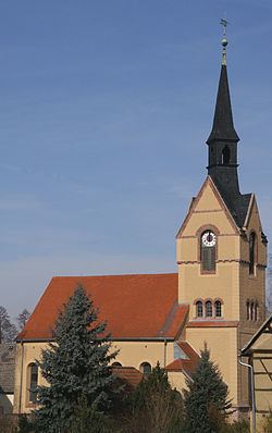
Nöbdenitz is a German municipality in the Thuringian district of Altenburger Land.
Contents
- Map of 04626 NC3B6bdenitz Germany
- Neighboring municipalities
- Municipal arrangement
- Business and transportation
- History
- References
Map of 04626 N%C3%B6bdenitz, Germany
Neighboring municipalities
Municipalities near Nöbdenitz are Drogen, Löbichau, Posterstein, the City of Schmölln, Vollmershain, and Wildenbörten.
Municipal arrangement
The municipality of Nöbdenitz consists of 5 subdivisions: Nöbdenitz, Burkersdorf (in Schmölln), Lohma, Untschen, and Zagkwitz.
Business and transportation
Nöbdenitz has a train station on the line that goes from Gera to Gößnitz as well as to Altenburg.
History
Within the German Empire (1871–1918), Nöbdenitz was part of the Duchy of Saxe-Altenburg.
References
Nöbdenitz Wikipedia(Text) CC BY-SA