Elevation 240-295 m (−728 ft) Area 7.81 km² Postal code 04626 Dialling code 034491 | Municipal assoc. Oberes Sprottental Time zone CET/CEST (UTC+1/+2) Local time Monday 3:16 AM Population 351 (31 Dec 2008) | |
 | ||
Weather 10°C, Wind NW at 3 km/h, 86% Humidity | ||
Wildenbörten a German municipality in the Thuringian district of Altenburger Land. It belongs to the Verwaltungsgemeinschaft of Oberes Sprottental.
Contents
- Map of 04626 WildenbC3B6rten Germany
- Neighboring municipalities
- Municipal organization
- History
- References
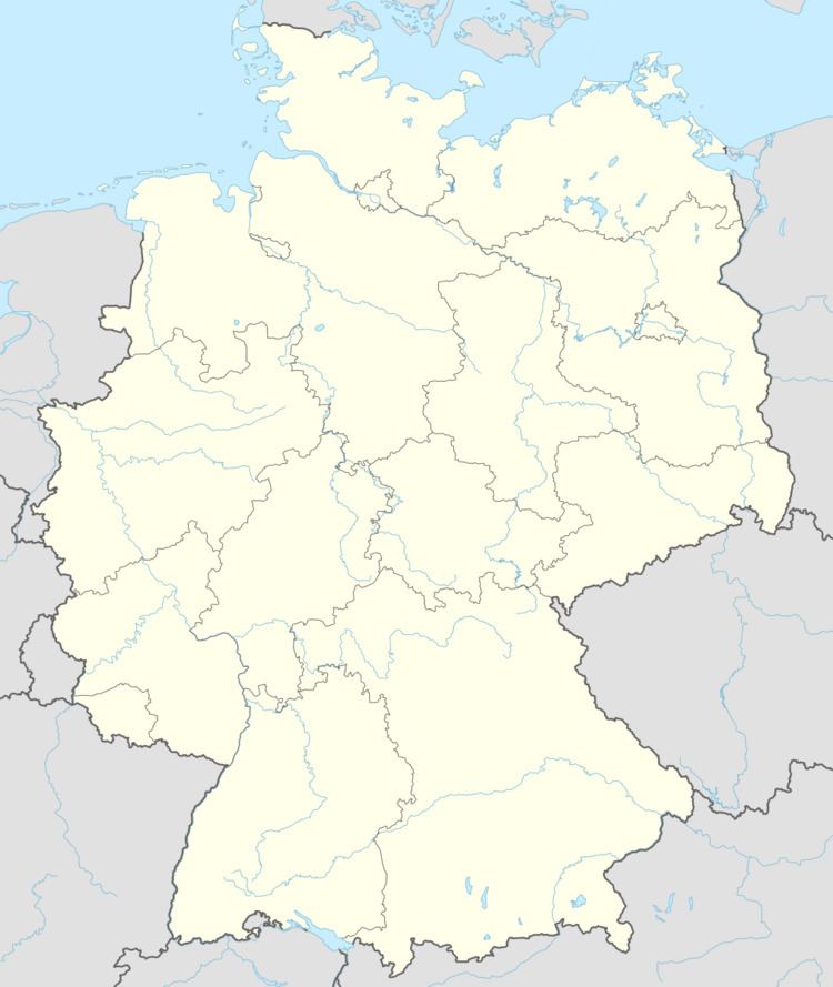
Map of 04626 Wildenb%C3%B6rten, Germany
Neighboring municipalities
Municipalities near Wildenbörten are Drogen, Löbichau, Lumpzig, Mehna, and Nöbdenitz in the district of Altenburger Land; as well as Großenstein und Reichstädt in district of Greiz.
Municipal organization
The municipality of Wildenbörten consists of five subdivisions: Wildenbörten, Dobra, Graicha, Hartroda, and Kakau.
History
Within the German Empire (1871–1918), Wildenbörten was part of the Duchy of Saxe-Altenburg.
References
Wildenbörten Wikipedia(Text) CC BY-SA
