
Time zone CET/CEST (UTC+1/+2) Area 41.6 km² Local time Friday 10:29 AM Dialling code 034491 | Elevation 220 m (720 ft) Postal codes 04626 Population 12,224 (31 Dec 2008) Postal code 04626 | |
 | ||
Weather 7°C, Wind NE at 14 km/h, 74% Humidity | ||
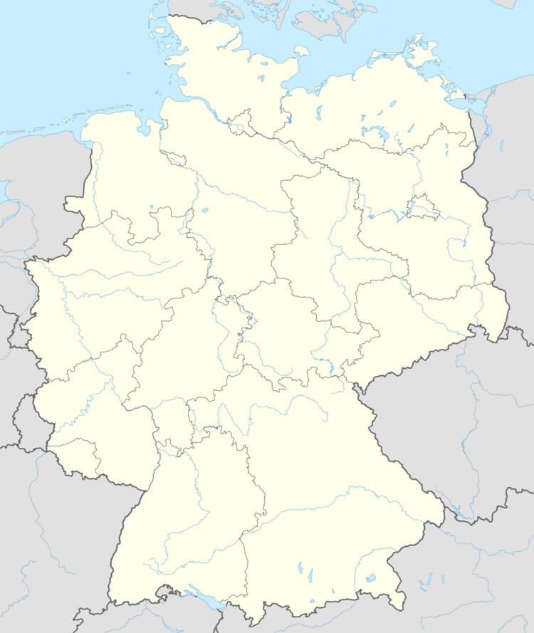
Schmölln is a town in the Thuringian, Germany, landkreis of Altenburger Land, and which lies on the river Sprotte.
Contents
- Map of 04626 SchmC3B6lln Germany
- explosion im gymnasium manv bung in schm lln
- Neighboring municipalities
- City divisions
- History
- Incorporation
- Business and transportation
- References
Map of 04626 Schm%C3%B6lln, Germany
explosion im gymnasium manv bung in schm lln
Neighboring municipalities
Municipalities in the district of Altenburger Land neighboring Schmölln include: Altkirchen, Drogen, the town of Gößnitz, Heyersdorf, Nöbdenitz, Ponitz, Saara, and Vollmershain.
City divisions
Schmölln is divided into 13 subdivisions:
History
Important Dates:
1066--Schmölln is first mentioned in writing as ABBATIA ZMULNA1127--Building of the cloister on the Pfefferberg13th - 16th centuries--Schmölln is a pilgrimage destination (Marienwallfahrtsort)1525--Destruction of the cloister on the Pfefferberg2016 - An underage Somalian asylum seeker jumps to his death, allegedly encouraged by onlookersIncorporation
On March 8, 1994, Weißbach was incorporated into Schmölln, and on January 1, 1996, Großstöbnitz followed.
Business and transportation
Schmölln is located at a connection of Bundesautobahn 4 (Connection 61 Schmölln) and has a train station on the Middle-Germany Link (Weimar–Glauchau).
References
Schmölln Wikipedia(Text) CC BY-SA