Harman Patil (Editor)

Muskwa Kechika Management Area

Updated on
Edit
Like
Comment
Share on FacebookTweet on TwitterShare on LinkedInShare on Reddit
Muskwa-Kechika Management Area MuskwaKechika Management Area

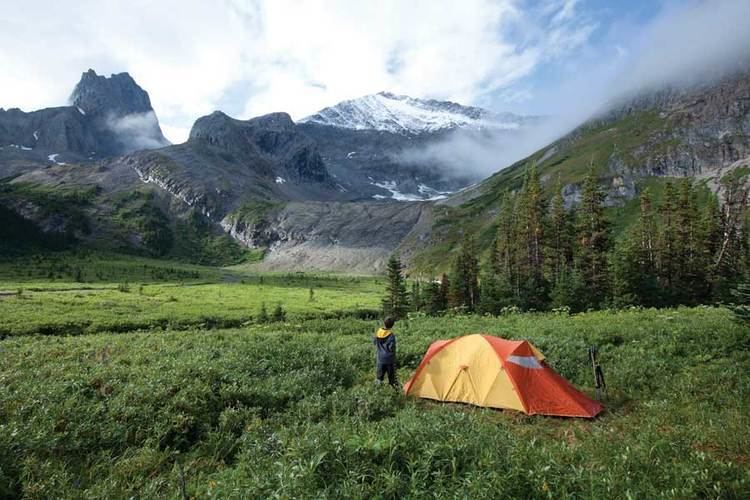
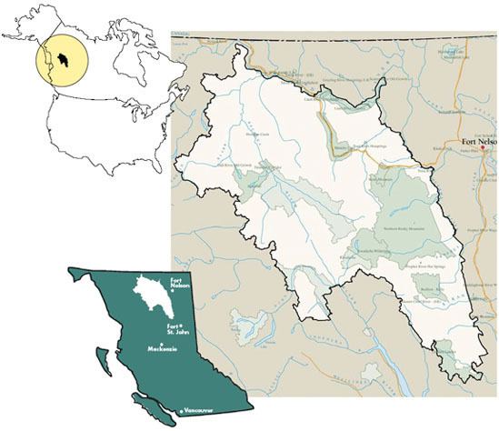
The Muskwa-Kechika Management Area (M-K or M-KMA) is a provincially run tract of land in the far north of British Columbia. It has an advisory board that advises the government on land-use decisions. Established by provincial government legislation in 1998, the area is meant to be preserved as a wild area, but development is not forbidden. The land is divided into different zones, with varying levels of protection, although the whole area is supposed to be used according to an overall plan. The original plan called for 25% of the land to be turned into provincial parks, 60% to become "special management zones" where mining and oil and gas drilling was to be allowed, and 15% to become "special wildland zones" where logging is prohibited. The original size of the M-KMA was 4,450,000 hectares (11,000,000 acres) however in 2000 with the approval of the Mackenzie Land and Resource Management Plan (LRMP) over 1,900,000 hectares (4,700,000 acres) were added to the M-KMA creating a total area of 6,400,000 hectares (16,000,000 acres), which is approximately the size of the US state of Maine, or the island of Ireland, or seven times the size of Yellowstone National Park in the United States.

Contents

Name and geography

Muskwa-Kechika Management Area MuskwaKechika National Geographic Magazine

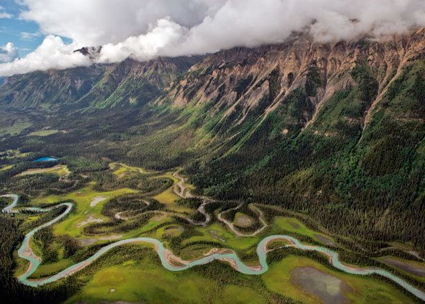
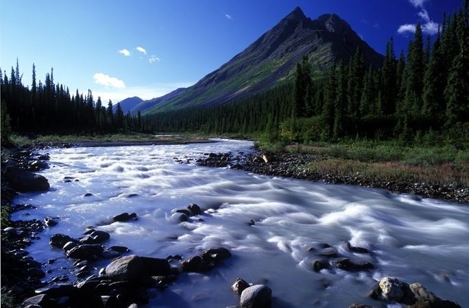
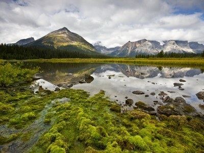
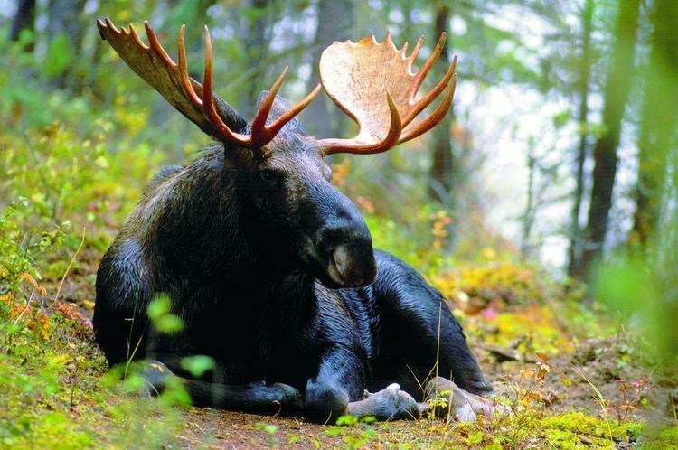
The area is named after the Muskwa River and Muskwa Ranges (from the Cree: maskwa, "bear") and the Kechika River and Kechika Ranges (Kechika means "long inclining river"). The area include the Northern Rocky Mountains to the north of Lake Williston and the Rocky Mountain Foothills north of the Peace River and much of the southeastern Cassiar Mountains and a small portion of the northeastern Omineca Mountains. With the southern Selwyn and Mackenzie Mountains north of the Liard River, the area defines the Boreal Cordillera Ecozone.

Parks and protected areas

(with area)

Muskwa-Kechika Management Area Canadian Rockies Trip to MuskwaKechika Combats NatureDeficit Disorder

  • Dall River Old Growth Provincial Park 644 hectares (1,590 acres)
  • Denetiah Provincial Park & Protected Area 97,908 hectares (241,940 acres)
  • Dune Za Keyih Provincial Park & Protected Area 347,789 hectares (859,410 acres)
  • Finlay-Russel Provincial Park & Protected Area 122,795 hectares (303,430 acres)
  • Graham-Laurier Provincial Park 99,982 hectares (247,060 acres)
  • Horneline Creek Provincial Park 298 hectares (740 acres)
  • Kwadacha Wilderness Provincial Park 114,444 hectares (282,800 acres)
  • Liard River Corridor/West Provincial Parks & Protected Area 88,898 hectares (219,670 acres)
  • Liard River Hot Springs Provincial Park 1,082 hectares (2,670 acres)
  • Muncho Lake Provincial Park 86,079 hectares (212,710 acres)
  • Northern Rocky Mountains Provincial Park & Protected Area 665,709 hectares (1,645,000 acres)
  • Ospika-Cones Ecological Reserve 1,282 hectares (3,170 acres)
  • Prophet River Hot Springs Provincial Park 185 hectares (460 acres)
  • Redfern-Keily Provincial Park 80,771 hectares (199,590 acres)
  • Sikanni Chief River Ecological Reserve 2,091 hectares (5,170 acres)
  • Stone Mountain Provincial Park 25,179 hectares (62,220 acres)
  • Toad River Hotsprings Provincial Park 414 hectares (1,020 acres)

  • Muskwa-Kechika Management Area Wayne Sawchuk and the MuskwaKechika The MuskwaKechika

    Muskwa-Kechika Management Area sngmcom200811muskwakechikaimgriver160jpg

    Muskwa-Kechika Management Area MuskwaKechika Management Area

    Muskwa-Kechika Management Area Cutting Edge Science Faces Off With Climate Change Yellowstone to

    Muskwa-Kechika Management Area MuskwaKechika Management Area

    References

    Muskwa-Kechika Management Area Wikipedia