
Province British Columbia | Country Canada | |
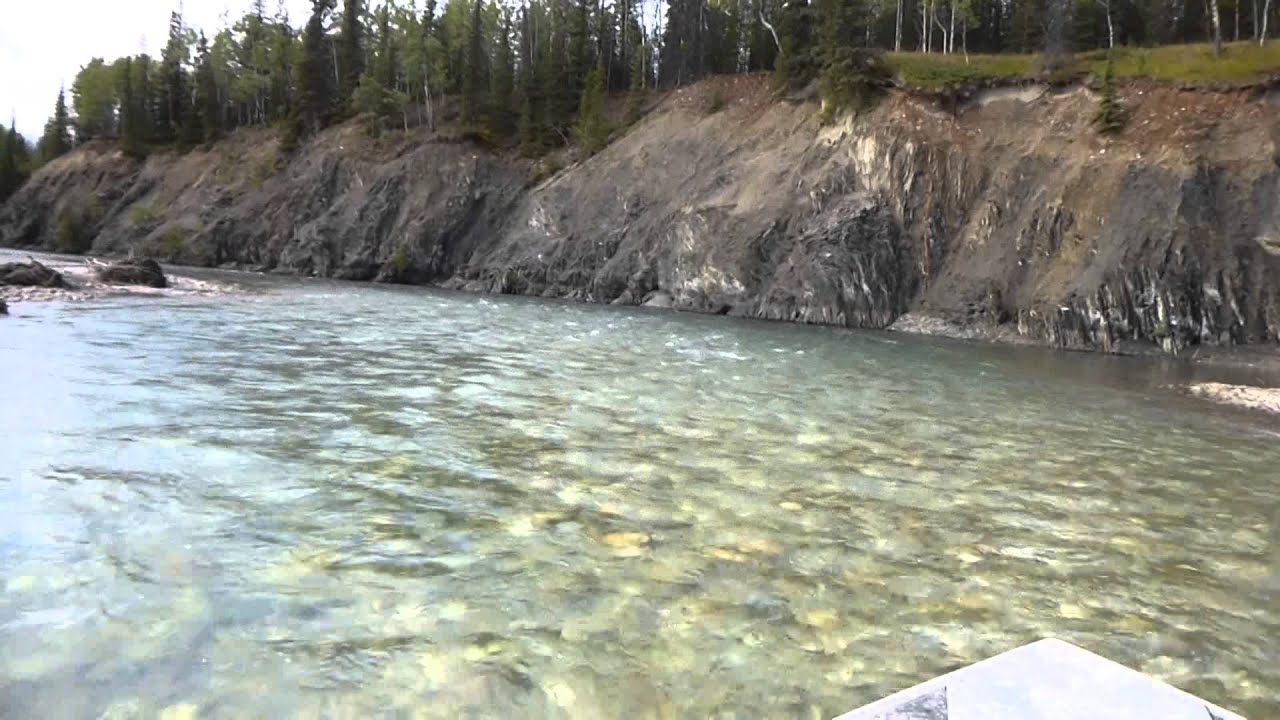 | ||
The Kechika River, also historically known as Black's River, is a tributary of the Liard River, located in northern British Columbia, Canada. The river rises at the Sifton Pass and flows northwest and then east 230 kilometres (140 mi) to join with the Liard River near Fireside, British Columbia. The river drops approximately 610 metres (2,000 ft) in elevation and drains a total area of close to 2,700 square kilometres (1,000 sq mi). The river winds its way through a wilderness area in the northern boreal mountains, including the Kechika Ranges (a subdivision of the Cassiar Mountains) and Western Muskwa Ranges (which are part of the northernmost Canadian Rockies), and forms part of the boundary between the Rockies the Cassiars in the portion of its course through the Rocky Mountain Trench, and winds through the Liard Plain in its lowermost, northern reaches. Along with a number of waterfalls and lakes associated with the river, landscape features important to wildlife such as mineral licks can be found along its course.
Map of Kechika River, British Columbia, Canada
The river is ecologically significant insofar as it remains largely undisturbed by resource extraction. It has been designated as a heritage river by the British Columbia government, conveying certain protections. Part of the river flows through the Muskwa-Kechika Management Area.
The first European known to have visited the river is Samuel Black in 1824. The river was originally named "Black's River."