
Population 11,456 (2016 est.) Area 11,865 km² | Administrator David Shaw Founded 12 May 2016 | |
 | ||
Established 12 May 2016 (2016-05-12) | ||
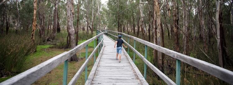
The Murray River Council is a local government area in the Riverina region of New South Wales, Australia. This area was formed in 2016 from the merger of Murray Shire with Wakool Shire.
Contents
The combined area comprises 11,865 square kilometres (4,581 sq mi) and covers the northern bank of the Murray River and hinterland from Moama downstream to Tooleybuc. At the time of its establishment, the estimated population of the area was 11,456.
The Administrator of the Murray River Council is David Shaw, until the elections for councillors to take place on 9 September 2017.
Main towns and villages
The largest town in Murray River Council is Moama in the far south east. Other towns and localities in the area include Barham, Bunnaloo, Burraboi, Caldwell, Koraleigh, Kyalite, Mathoura, Moulamein, Murray Downs, Speewa, Tantonan, Tooleybuc, Wakool and Womboota.
Council
Once elected, Murray River Council will comprise nine Councillors elected proportionally from three wards - Moama, Greater Murray and Greater Wakool. All Councillors are expected to be elected for a fixed four-year term of office with effect from 9 September 2017.