
Population 419 (2006 census) Postal code 2732 | Postcode(s) 2732 Local time Tuesday 7:58 PM | |
 | ||
Location 808 km (502 mi) from Sydney283 km (176 mi) from Albury50 km (31 mi) from Moulamein34 km (21 mi) from Barham | ||
Burraboi is a community in New South Wales, Australia. It is in the southwestern part of the Riverina and situated about 34 kilometres (21 mi) north of Barham and 50 km south of Moulamein. At the 2006 census, Burraboi had a population of 419.
Map of Burraboi NSW 2732, Australia
Burraboi Post Office opened on 1 July 1929 and closed in 1942 (a telephone office remained open until 1957).
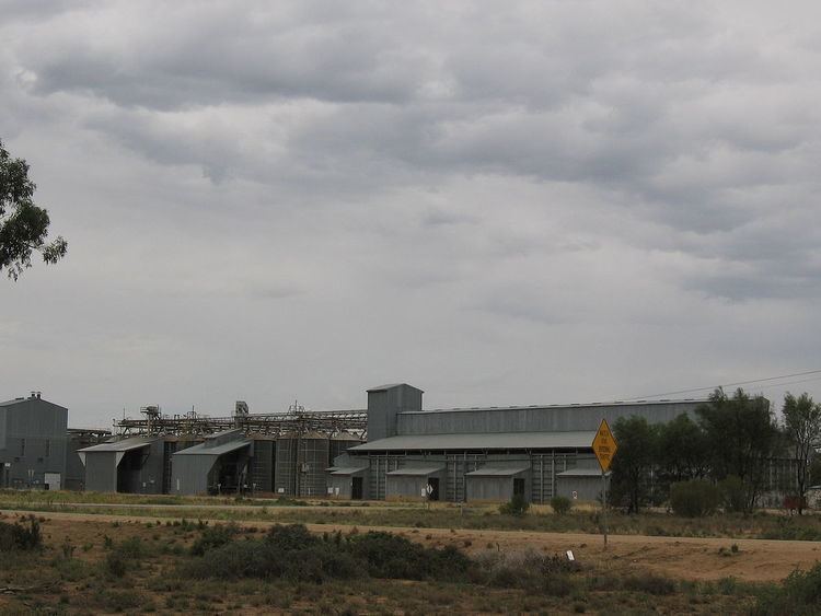
The largest rice silo complex in the southern hemisphere is located at Burraboi.
References
Burraboi Wikipedia(Text) CC BY-SA