
Postcode(s) 2731 Postal code 2731 | Elevation 91 m Local time Wednesday 2:57 PM Population 340 (2006 census) | |
 | ||
Weather 23°C, Wind NE at 14 km/h, 30% Humidity | ||
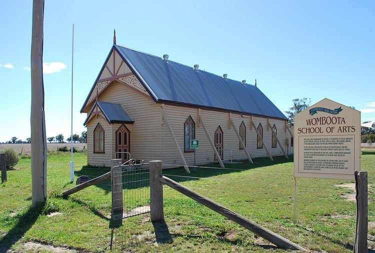
Womboota is a locality in the centre south part of the Riverina. It is situated by road, about 26 kilometres (16 mi) north from Moama and 28 kilometres (17 mi) south west from Bunnaloo. At the 2006 census, Womboota had a population of 340.
Map of Womboota NSW 2731, Australia
Womboota is located in the Deniliquin land district and the Murray River Council and is on the Balranald branch line of the Deniliquin railway line.
Womboota Post Office opened on 1 July 1899 and closed in 1979.
References
Womboota Wikipedia(Text) CC BY-SA