Population 373 (2006 census) Local time Friday 8:25 PM | Postcode(s) 2735 Postal code 2735 | |
 | ||
Location 374 km (232 mi) NW of Melbourne921 km (572 mi) SW of Sydney32 km (20 mi) NW of Swan Hill4 km (2 mi) E of Nyah Weather 24°C, Wind SE at 13 km/h, 29% Humidity | ||
Koraleigh and drayis
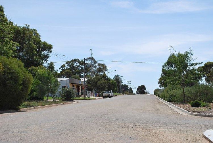
Koraleigh is a small village in the west of the Riverina region of New South Wales, Australia. The village is on the Murray River and in Murray River Council local government area. Koraleigh is 6 kilometres (3.7 mi) northeast from Nyah, Victoria and 15 kilometres (9.3 mi) south from Tooleybuc.
Contents
Map of Koraleigh NSW 2735, Australia
Koraleigh is on the traditional lands of the Muthi Muthi Aboriginal tribe and it is from their language that it gets its name.
At the 2006 census, Koraleigh had a population of 373.
Koraleigh Post Office opened on 18 September 1922. In the late 1980s, the Post Office moved from its original location in Eagles Lane and was integrated into the town's only store.
References
Koraleigh Wikipedia(Text) CC BY-SA
