
 | ||
Murgash Glacier (Lednik Murgash \'led-nik mur-'gash)is the 3.4 km long and 3.2 km wide glacier on Greenwich Island in the South Shetland Islands, Antarctica situated southeast of Yakoruda Glacier, south of Teteven Glacier, southwest of Traub Glacier and west-northwest of Bravo Glacier. It is bounded by Lloyd Hill on the northwest, Tile Ridge on the east and Hebrizelm Hill on the southeast, and drains southwards into Kramolin Cove in McFarlane Strait between Yovkov Point and Kaspichan Point.
Contents
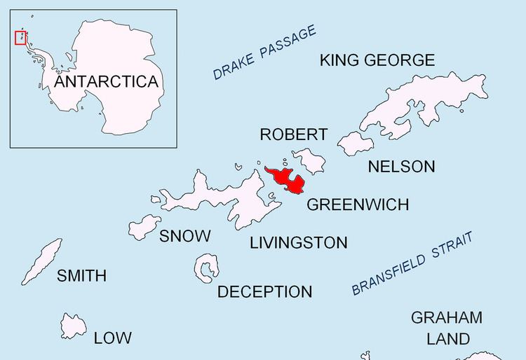
Map of Murgash Glacier, Antarctica
The glacier is named after Murgash Peak in the western Balkan Mountains, Bulgaria.
Location
Murgash Glacier is centred at 62°29′50″S 59°52′10″W. Bulgarian mapping in 2005 and 2009.
Maps
References
Murgash Glacier Wikipedia(Text) CC BY-SA