
Prominence c. 154 m OS grid SC189676 Elevation 169 m | Topo map OS Landranger 95 Listing Marilyn | |
 | ||
Similar South Barrule, Slieau Freoaghane, Snaefell, North Barrule | ||
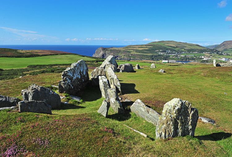
Mull Hill (Manx: Cronk Meayll; also called Meayll Hill or The Mull) is a small hill at the southern end of the Isle of Man, just outside the village of Cregneash. It is the site of a chambered cairn called Mull Circle or Meayll Circle. Near the summit of the hill also lie the remains of a World War II Chain Home Low RDF station.
Contents
Map of Mull Hill, Isle of Man
Mull Hill Stone Circle is a unique archaeological monument. It consists of 12 burial chambers placed in a ring, with 6 entrance passages leading into each pair of chambers. Sherds of ornate pottery, charred bones, flint tools and white quartz pebbles have been found in burial chambers. This archaeological monument was built around 3500 BC; it is a site of legends with diverse stories about haunting.
The word Meayll means "bald" in Manx Gaelic.