
Length 175.4 km | ||
 | ||
Major cities | ||
The Mubende–Kyegegwa–Kyenjojo–Fort Portal Road, also Mubende–Fort Portal Road is a road in the Central and Western Regions of Uganda, connecting the towns of Mubende, in Mubende District, Kyegegwa in Kyegegwa District, Kyenjojo in Kyenjojo District and Fort Portal in Kabarole District.
Contents
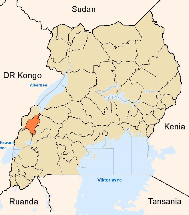
Map of Mubende - Fort Portal Rd, Uganda
Location
The road starts at Mubende and travels westwards through Kyegegwa, and Kyenjojo, to end at Fort Portal, a distance of about 176 kilometres (109 mi). The coordinates of the road, near Kyenjojo, are 0°36'21.0"N, 30°39'41.0"E (Latitude:0.605836; Longitude:30.661390).
Overview
This road is part of the Kampala–Mityana–Mubende–Fort Portal transport corridor. It is part of the East African road network, connecting Kenya, Uganda and DR Congo. It is the primary gateway for tourists while visiting Kibaale National Park.
Upgrading to bitumen
The road was upgraded to class II bituminous standard between 2001 and 2003.