
Elevation 1,000 m | Sub-region Toro sub-region Time zone EAT (UTC+3) Local time Monday 11:17 PM | |
 | ||
Weather 21°C, Wind SE at 5 km/h, 76% Humidity | ||
Mpanga is a location on River Mpanga in Uganda.
Contents
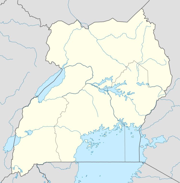
Map of Mpanga, Uganda
Location
Mpanga is located in Kamwenge District, in the Western Region of Uganda, adjacent to where River Mpanga empties into Lake George. This location is approximately 18 kilometres (11 mi), by road, southwest of Kamwenge, the nearest town and location of the district headquarters. and approximately 300 kilometres (190 mi), by road, west of Kampala, the capital and largest city of Uganda. Mpanga is also the location of Mpanga Power Station, an 18 megawatt hydropower project in Uganda, constructed between 2008 and 2011. Mpanga Power Station was commissioned on 10 February 2011.
Landmarks
The landmarks at or near Mpanga include:
References
Mpanga Wikipedia(Text) CC BY-SA