
Elevation 3,817 m | Topo map USGS Mount Bonneville | |
 | ||
Similar Wind River Range, Downs Mountain, Mount Woodrow Wilson, Mount Helen, Union Peak - Wyoming | ||
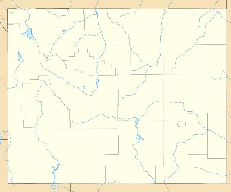
Mount Washakie (or Washakie Peak) (12,524 feet (3,817 m)) is located in the Wind River Range in the U.S. state of Wyoming. The mountain is on the Continental Divide in the Bridger Wilderness of Bridger-Teton National Forest and Popo Agie Wilderness of Shoshone National Forest. Washakie Glacier lies .50 mi (0.80 km) to the southeast of the peak.
Map of Mount Washakie, Wyoming 82923, USA
References
Mount Washakie Wikipedia(Text) CC BY-SA