
Prominence 153 m | Elevation 4,115 m | |
 | ||
First ascent 1924 by Albert Bessine, Edgar Doll and Carol Thompson-Jones Similar Wind River Range, Mount Helen, Downs Mountain, Fremont Peak, Jackson Peak | ||
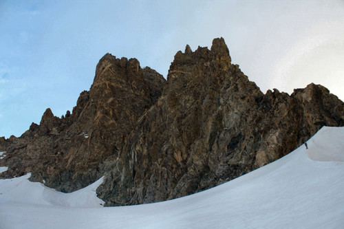
Mount Woodrow Wilson (13,502 feet (4,115 m)) is located in the Wind River Range in the U.S. state of Wyoming. Mount Woodrow Wilson is the eighth-highest mountain in the range and the ninth-highest in Wyoming. The summit is located in the Bridger Wilderness of Bridger-Teton National Forest on the Continental Divide, 1.25 miles (2.01 km) south of Gannett Peak. The flanks of the mountain are covered in snowfields and glaciers, including Dinwoody Glacier to the northeast, Mammoth Glacier to the west and Sphinx Glacier to the south.
Map of Mt Woodrow Wilson, Wyoming 82925, USA
It is named after the U.S. president Woodrow Wilson.
References
Mount Woodrow Wilson Wikipedia(Text) CC BY-SA