
Topo map USGS Downs Mountain Elevation 4,069 m | Mountain type Batholith Prominence 472 m | |
 | ||
Similar Wind River Range, Mount Helen, Mount Woodrow Wilson, Jackson Peak, Fremont Peak | ||
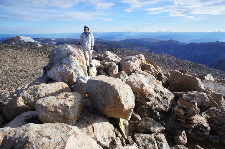
Downs Mountain (13,349 ft (4,069 m)) is located in the Wind River Range in the U.S. state of Wyoming. Downs Mountain is the 15th highest peak in Wyoming. The summit is on the Continental Divide in both Shoshone and Bridger-Teton National Forests. The East Torrey Glacier is on the northern slopes of Downs Mountain, while Continental Glacier lies to the west and north and the Downs Glacier is 1 mi (1.6 km) to the south.
Map of Downs Mountain, Wyoming 82925, USA
References
Downs Mountain Wikipedia(Text) CC BY-SA