
Topo map USGS Mount Tipton Prominence 1,106 m | Elevation 2,180 m | |
 | ||
Listing Desert Peaks Section List Similar Mount Turnbull, Roof Butte, Chiricahua Peak, Boundary Cone, Mount Bangs | ||
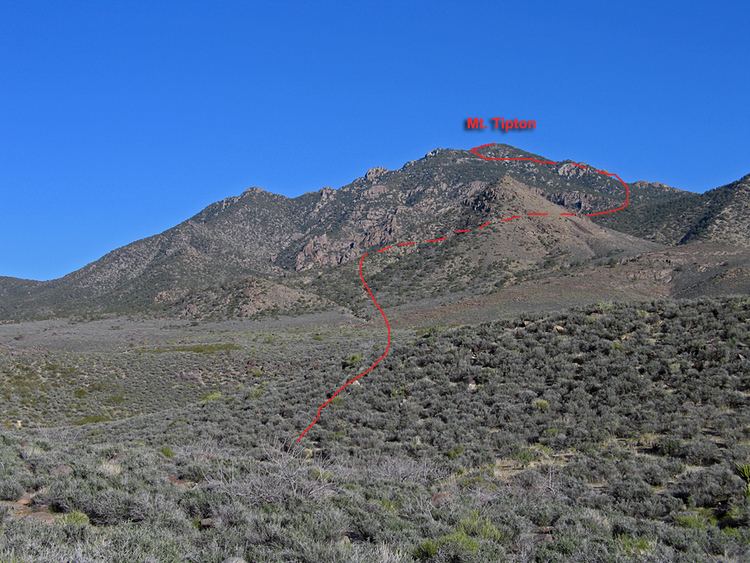
Mount Tipton is a mountain in northwestern Arizona in the United States. With a summit elevation of 7,153 feet (2,180 m), it is the tallest mountain in the Cerbat Mountains which border Kingman on the north, and is the high point of the Mount Tipton Wilderness which comprises the entirety of the northern portion of the Cerbat Mountains. The community of Dolan Springs lies west at the base of Mount Tipton at the northwest side of the Cerbat Range.
Map of Mt Tipton, Arizona 86441, USA
References
Mount Tipton Wikipedia(Text) CC BY-SA