
Topo map USGS Roof Butte Elevation 2,983 m | Easiest route Indian Route 68 Prominence 957 m | |
 | ||
Similar Mount Turnbull, Pinal Peak, Chiricahua Peak, Kendrick Peak, Mount Baldy | ||
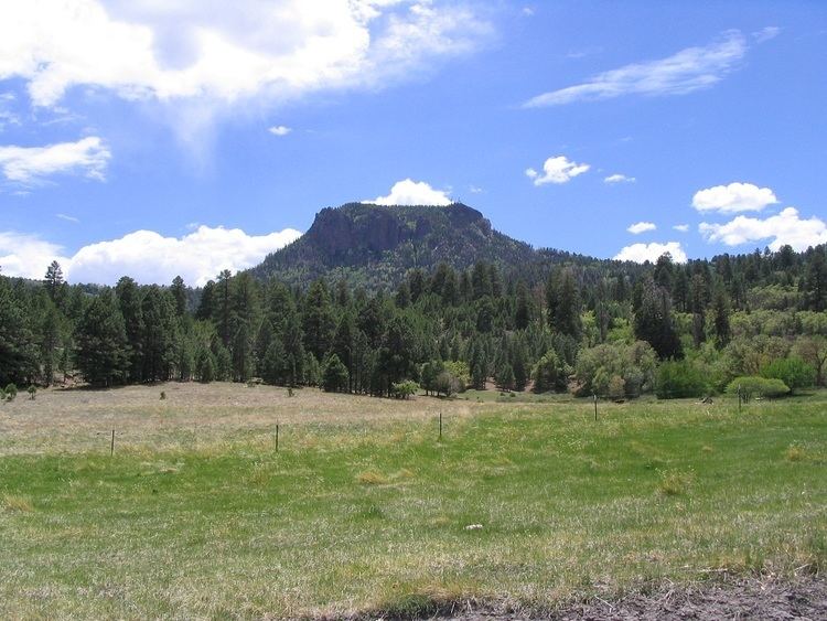
Roof Butte (Navajo: Adáá dikʼá "Roof shaped mountain on the run") is a peak in the Chuska Mountains in Arizona, United States. Roof Butte is the highest peak of the Chuska Mountains which run in a north-northwest direction across the Arizona-New Mexico border. Roof Butte is a visible butte for miles around. The butte has an elevation of 9,787 feet (2,983 m). A manned-lookout tower is located on Roof Butte. Two funnel shaped explosion volcanic pipes formed the flattish summit of Roof Butte, and a low lava dome caps one nearby peak.
Map of Roof Butte, Arizona 86556, USA
Access to the Navajo Nation for is by permit.
References
Roof Butte Wikipedia(Text) CC BY-SA