
Listing Inactive volcano Elevation 2,260 m | Mountain range Cordillera Central | |
 | ||
Similar Mount Cabuyao, Mount Pulag, Mount Apo, Mount Bintuod, Mount Binuluan | ||
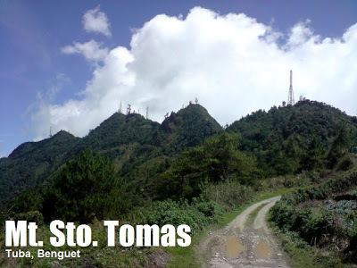
Mount Santo Tomas is a stratovolcano in the Philippines located in the municipality of Tuba in the province of Benguet.
Contents
- Map of Mount Santo Tomas Kayapa Nueva Vizcaya Philippines
- Physical featuresEdit
- ListingsEdit
- EruptionsEdit
- GeologyEdit
- References
Map of Mount Santo Tomas, Kayapa, Nueva Vizcaya, Philippines
Physical featuresEdit
Mount Santo Tomas is a stratovolcano with numerous volcanic vents and fissures.
ListingsEdit
Philippine Institute of Volcanology and Seismology (PHIVOLCS) lists Mount Santo Tomas as Inactive.
The Global Volcanism Program is uncertain about the last activity of Mount Santo Tomas.
EruptionsEdit
There was a report of an eruption or "displacement" in the region on January 4, 1641, described as an outburst of water accompanied by an earthquake. January 4, 1641 is the date of the major eruption of Mt Parker volcano in southern Mindanao that impacted much of the Philippines.
There have been no reports since.
GeologyEdit
Rock type is not reported.
Mount Santo Tomas is close to the auriferous volcanic placements near Baguio, and beside the fault line which occasioned the July 16, 1990 earthquake devastating much of Luzon, and especially Baguio.