
Location Luzon Elevation 1,935 m | First ascent Unknown Mountain range Sierra Madre Municipality Alfonso Castañeda | |
 | ||
Similar Mount Guiwan, Mount Santo Tomas, Mount Tapulao, Mount Amorong, Mount Binuluan | ||
Mount Bintuod is a mountain in the Sierra Madre range in the municipality of Alfonso Castañeda in Nueva Vizcaya province. It is probably the highest peak in the Philippines longest mountain range with a first GPS-based measurement of 1,915 meters above sea level, from an expedition in April 2012. There are no records of the first ascent, but local tribe people have long established paths.
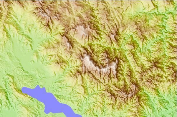
Map of Mount Bintuod, Dupax Del Sur, Nueva Vizcaya, Philippines
In some maps this peak is misidentified as Mount Dalimonoc, an actually lower peak adjoining Bintuod to the west.
However, locals report hunting to have reduced wildlife in recent years, thus game is rare now.
The forested peak can be reached in a two days one night return hike from Barangay Lipuga, Alfonso Castañeda, Nueva Vizcaya. This rural area of the Philippines is traditional land of the Bugkalot or Ilongot tribe and was only opened to a road via Carranglan, Nueva Ecija in 1997 when a hydropower dam was constructed in the Casignan River of the same valley.