
 | ||
Djerassi Glacier (Bulgarian: ледник Джераси, ‘Lednik Djerassi’ \'led-nik dzhe-'ra-si) is a 2.8 km long and 1 km wide steep valley glacier situated south of Gorichane Glacier, west of the head of Malpighi Glacier, northwest of the head of Mackenzie Glacier, and north-northeast of Pirogov Glacier on Brabant Island in the Palmer Archipelago, Antarctica. It drains the west slopes of Harvey Heights and the north slopes of Mount Parry, and flows northwestwards into Lanusse Bay north of Venchan Peak.
Contents
Map of Djerassi Glacier, Antarctica
The glacier is named for the Bulgarian-American scientist Carl Djerassi (1923-2015), a co-inventor of the oral contraceptive pill.
Location
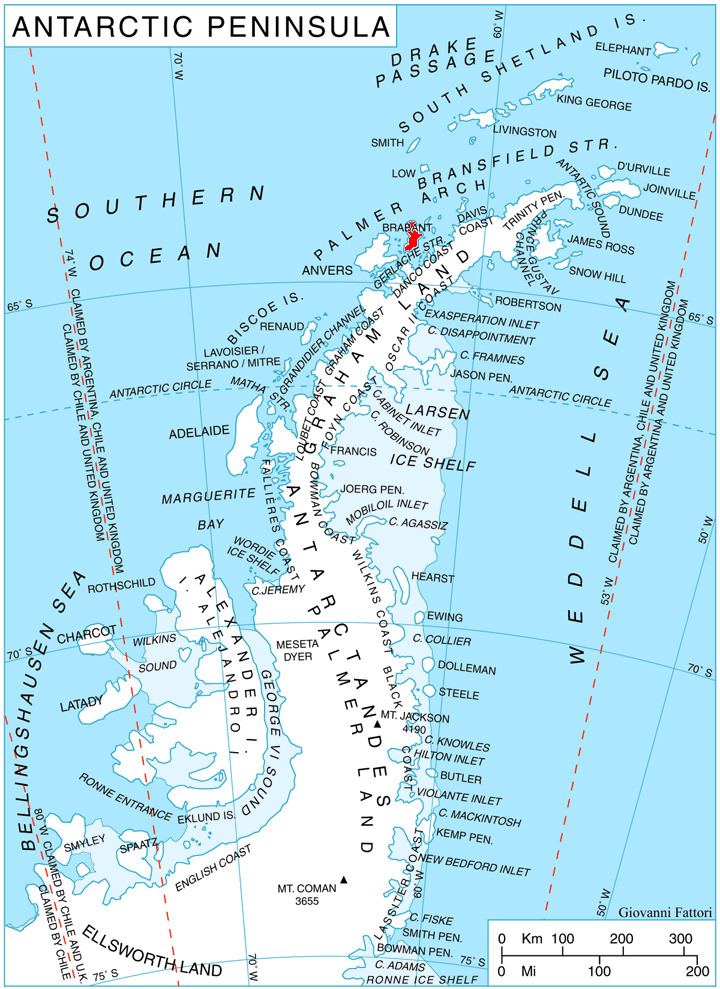
Djerassi Glacier is centred at 64°14′10″S 62°26′00″W. British mapping in 1980.
Map
References
Djerassi Glacier Wikipedia(Text) CC BY-SA