
Prominence 1,524 m | Mountain type Stratovolcano Elevation 1,544 m | |
 | ||
Listing Potentially active volcanoUltra Similar Malinao Volcano, Mount Masaraga, Mount Iriga, Cagua Volcano, Mount Apo | ||
Mount labo and colasi falls in camarines norte
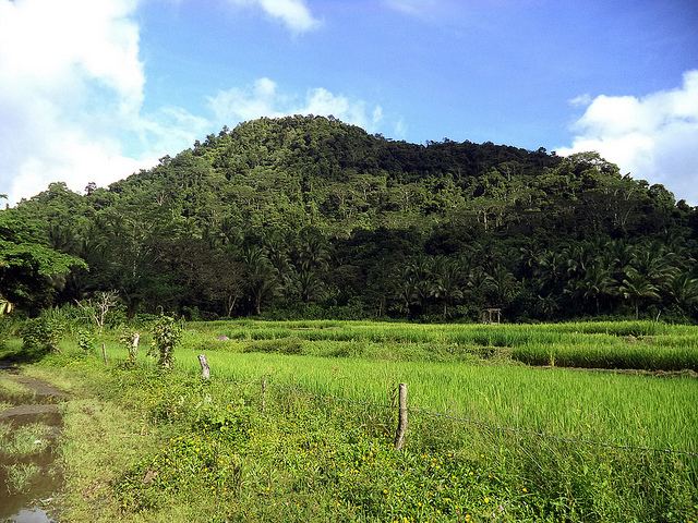
Mount Labo, is a potentially active stratovolcano in the province of Camarines Norte, in Region V, on Luzon Island, in the Philippines. It is located at the northwest end of the Bicol Peninsula.
Contents
- Mount labo and colasi falls in camarines norte
- Map of Mount Labo Labo Camarines Sur Philippines
- Physical features
- Economic activities
- Eruptions
- Geology
- Listings
- References
Map of Mount Labo, Labo, Camarines Sur, Philippines
Physical features
Labo is a forested 1,544-metre (5,066 ft) high andesitic stratovolcano, surrounded by numerous andesitic to dacitic satellite lava domes.
Labo has an elevation of 1544 metres asl.
Base diameter of this compound volcano is 35 kilometres.
Labo is thermally activity with both warm and hot springs.
Economic activities
Mount Labo has been the object of an extensive geothermal exploration program.
Eruptions
Mid-Pleistocene eruptions beginning about 580,000 years ago formed lava domes on the northern side of the complex.
The present edifice was formed beginning about 270,000 years ago, and flank lava dome emplacement took place from about 200,000 to about 40,000 years ago.
The latest activity from Mt. Labo produced pyroclastic flows from the summit cone about 27,000 years ago.
There have been no eruptions since.
Geology
Rock type is predominantly hornblende-biotite andesite to dacite.
Tectonically, Labo is part of the Bicol Volcanic belt.
Listings
The Smithsonian Institution's Global Volcanism Program lists Labo as Pleistocene - Hot Springs.
Philippine Institute of Volcanology and Seismology (PHIVOLCS) lists Labo as Potentially Active.