
Elevation 1,133 m | Country Philippines Age of rock Pleistocene | |
 | ||
Listing Active volcanoes in the Philippines Volcanic arc Babuyan (Bashi) Segment of Luzon-Taiwan Arc Similar Camiguin de Babuyanes, Didicas Volcano, Babuyan Claro Volcano, Mount Makaturing, Mount Ragang | ||
Cagua volcano gonzaga cagayan
Cagua Volcano is a stratovolcano located in the Philippine province of Cagayan. It is one of the active volcanoes in the Philippines and has erupted twice in recorded history. Its last eruption was in 1907.
Contents
- Cagua volcano gonzaga cagayan
- Map of Mount Cagua Gonzaga Cagayan Philippines
- Overview of cagua volcano gonzaga cagayan province
- Geography
- Geology
- Eruptive activity
- References
Map of Mount Cagua, Gonzaga, Cagayan, Philippines
Overview of cagua volcano gonzaga cagayan province
Geography
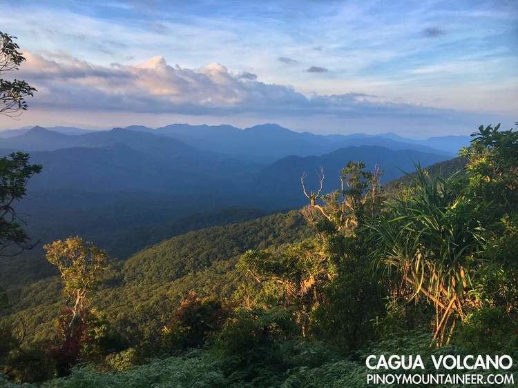
Cagua is one of the active volcanoes in the Philippines located in the province of Cagayan in the Cagayan Valley Region of northern Luzon in the northernmost part of the Sierra Madre mountain range. The mountain is approximately 12 kilometres (7.5 mi) south of Gonzaga, Cagayan and 14 kilometres (8.7 mi) south of Port Irene in Santa Ana, Cagayan.
Geology
Activity of the early Pleistocene erupted basaltic andesite or effusive basalt. The volcano was covered by enormous lava flows from 600,000 to 300,000 years ago. It has seen activity ranging from phreatic eruptions to ash flows. The volcano is topped by a 1.5-kilometer (1 mi) wide crater marked by sharp and precipitous walls.
It has six hot springs. Maasok near the crater; Marafil in the northwest; Manaring, 5 kilometres (3.1 mi) north-northeast; San Jose, 10 km (6.2 mi) north-northeast; Kabinlangan, 3 km (1.9 mi) northwest and Paminta, 2 km (1.2 mi) north-northwest.
Eruptive activity
Two historical eruptions have taken place at the volcano. Activity in 1860 was a largely phreatic eruption though it was possibly followed by a pyroclastic flow. Renewed eruptions took place in 1907.