
 | ||
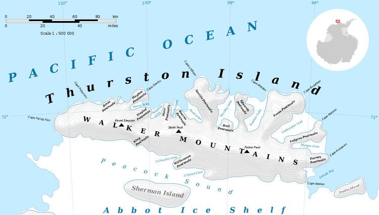
Mount Howell (72°14′S 99°3′W) is a mountain 3 nautical miles (6 km) south-southwest of Mount Borgeson in the Walker Mountains of Thurston Island, Antarctica. It was named by the Advisory Committee on Antarctic Names after Lieutenant Commander John D. Howell, a pilot and airplane commander in the Eastern Group of U.S. Navy Operation Highjump, which obtained aerial photographs of this mountain and coastal areas adjacent to Thurston Island in 1946–47. Commander Howell landed a PBM Mariner seaplane in the open water of eastern Glacier Bight on January 11, 1947 to rescue six survivors of a December 30 Mariner crash on Noville Peninsula.
Contents
Map of Mount Howell, Antarctica
Maps
References
Mount Howell Wikipedia(Text) CC BY-SA