
Length 215 km (133.6 mi) Highest elevation 750 m (2,460 ft) Elevation 750 m | Area rank 56th Width 90 km (56 mi) Highest point Mount Howell Area 15,700 km² | |
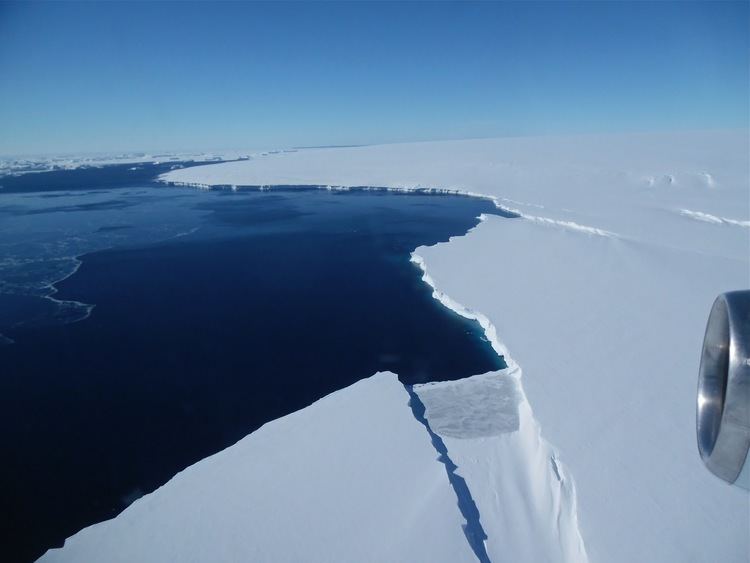 | ||
Thurston Island is an ice-covered, glacially dissected island, 215 km (134 mi) long, 90 km (56 mi) wide and 15,700 km2 (6,062 sq mi) in area, lying a short way off the northwest end of Ellsworth Land, Antarctica. It is the third largest island of Antarctica, after Alexander Island and Berkner Island.
Map of Thurston, Antarctica
Thurston Island is separated from the mainland by Peacock Sound, which is occupied by the western portion of Abbot Ice Shelf. It divides Bellingshausen Sea to the east from Amundsen Sea to the west.
The island was discovered from the air by Rear Admiral Byrd on February 27, 1940, who named it for W. Harris Thurston, New York textile manufacturer, designer of the windproof "Byrd Cloth" and sponsor of Antarctic expeditions.
Originally charted as a peninsula, the feature was not recognised an island until 1960.