
 | ||
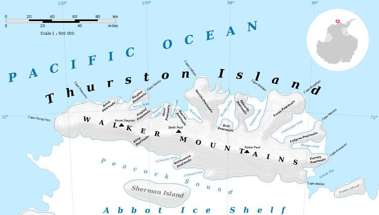
Noville Peninsula (71°56′S 98°35′W) is a high ice-covered peninsula about 30 nautical miles (60 km) long, between Peale and Murphy Inlets on the north side of Thurston Island. Delineated from aerial photographs made by U.S. Navy Operation Highjump in December 1946. Named for George O. Noville, executive officer of Byrd Antarctic Expedition, 1933-35.
Maps
This article incorporates public domain material from the United States Geological Survey document "Noville Peninsula" (content from the Geographic Names Information System).
References
Noville Peninsula Wikipedia(Text) CC BY-SA