
Prominence 650 m Listing Four-thousand footers | Elevation 1,244 m | |
 | ||
Topo map USGS Mount Ellen 1:24,000 Similar Lincoln Peak, Mount Abraham, Camel's Hump, Killington Peak, Mount Mansfield | ||
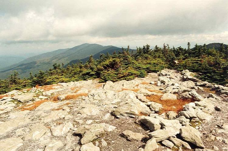
Mount Ellen is a 4,083-foot (1,244 m) high mountain in Vermont. It is located in the Green Mountains in Washington County. Mount Ellen is flanked to the south by Cutts Peak (4,020 ft / 1,225 m), and to the north by Stark Mountain (3,662 ft / 1,116 m).
Map of Mt Ellen, Warren, VT 05674, USA
The area is often referred to as the Mad River Valley. Mount Ellen together with Lincoln Peak provide the slopes of Sugarbush Resort. Located nearby is Mad River Glen, a ski-only resort famous for its old single chair.
The Long Trail, a 272-mile (438-km) hiking trail running the length of Vermont, traverses the summit ridge of Mount Ellen.
References
Mount Ellen (Vermont) Wikipedia(Text) CC BY-SA