
Topo map USGS Mount Ellen Prominence 1,786 m | Elevation 3,512 m | |
 | ||
Listing US most prominent peaks 72ndUtah county high points 12th Similar Mount Peale, Delano Peak, Deseret Peak, North Schell Peak, Mount Jefferson | ||
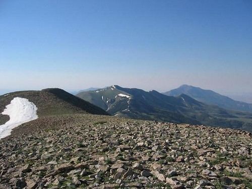
Mount Ellen is a mountain located in Garfield County, Utah. The high point of Mount Ellen's North Summit Ridge is the highest point in the Henry Mountains; it is also the highest point in Garfield County. It can be reached by a short hike from an unpaved road. These mountains were the last to be surveyed by the USGS in the lower 48 states. The mountain can be seen from as far as Mount Peale in the La Sal Mountains of eastern Utah.
Map of Mt Ellen, Utah, USA
Mount Ellen is an ultra prominent peak, meaning that it has more than 1,500 metres (4,921 ft) of topographic prominence, standing out considerably from nearby mountains. It stands in the watershed of the Fremont River, which together with Muddy Creek forms the Dirty Devil River, which drains into the Colorado River, and ultimately into the Gulf of California in Mexico.
The Paiute name for Mount Ellen was Un tar re. It was also referred to as First Mountain. After climbing to the summit in June 1872, Almon Harris Thompson named it for his wife Ellen. Ellen Powell Thompson was also the sister of explorer John Wesley Powell.