
Topo map USGS Delano Peak Prominence 1,429 m | Elevation 3,711 m | |
 | ||
Listing North America isolated peaks 111thUtah County High Points 7th Similar Mount Ellen, Mount Peale, Signal Peak, Deseret Peak, Twin Peaks (American Fork) | ||
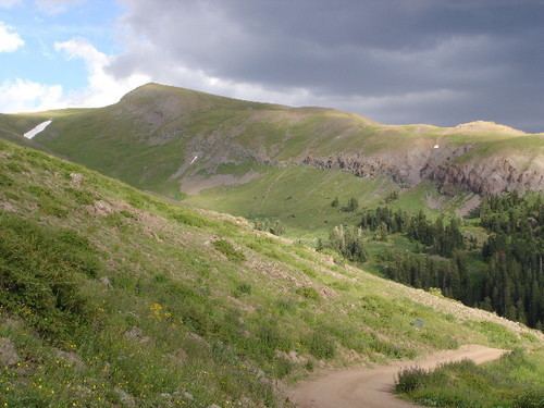
Delano Peak is the highest point in the Tushar Mountains of south-central Utah. The Tushars are the third-highest range in the state, after the Uinta Mountains and the La Sal Range, though Delano itself is surpassed in height by at least thirty-one other Utah peaks.
Contents
Map of Delano Peak, Utah 84713, USA
Located in the Fishlake National Forest, Delano Peak is the highest point in both Beaver and Piute counties. The mountain is named for Columbus Delano (1809–1896), Secretary of the Interior during the Grant administration.
GeographyEdit
Delano Peak is located just east of Beaver, Utah and can be seen clearly from I-70 and I-15.
References
Delano Peak Wikipedia(Text) CC BY-SA