Samiksha Jaiswal (Editor)

Moon Bay

Updated on
Edit
Like
Comment
Share on FacebookTweet on TwitterShare on LinkedInShare on Reddit
Moon Bay

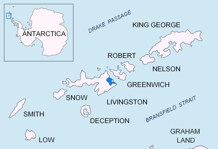
Moon Bay is a bay 7 nautical miles (13 km) wide which recedes 4 nautical miles (7 km) between Edinburgh Hill and Renier Point, on the east side of Livingston Island, in the South Shetland Islands off Antarctica. The glaciers Sopot Ice Piedmont, Iskar, Huron, Struma, Kaliakra, Panega and Debelt feed the bay.

Contents

Map of Half Moon Bay, CA, USA

The bay was known to sealers in the area as early as 1821. It was recharted in 1935 by Discovery Investigations personnel on the Discovery II, and probably named by them for nearby Half Moon Island, which lies in the entrance to the bay.

Maps

  • South Shetland Islands. Scale 1:200000 topographic map No. 5657. DOS 610 – W 62 60. Tolworth, UK, 1968.
  • Islas Livingston y Decepción. Mapa topográfico a escala 1:100000. Madrid: Servicio Geográfico del Ejército, 1991.
  • L.L. Ivanov et al. Antarctica: Livingston Island and Greenwich Island, South Shetland Islands. Scale 1:100000 topographic map. Sofia: Antarctic Place-names Commission of Bulgaria, 2005.
  • L.L. Ivanov. Antarctica: Livingston Island and Greenwich, Robert, Snow and Smith Islands. Scale 1:120000 topographic map. Troyan: Manfred Wörner Foundation, 2009. ISBN 978-954-92032-6-4
  • Antarctic Digital Database (ADD). Scale 1:250000 topographic map of Antarctica. Scientific Committee on Antarctic Research (SCAR), 1993–2016.
  • References

    Moon Bay Wikipedia