
Length 55.76 km | ||
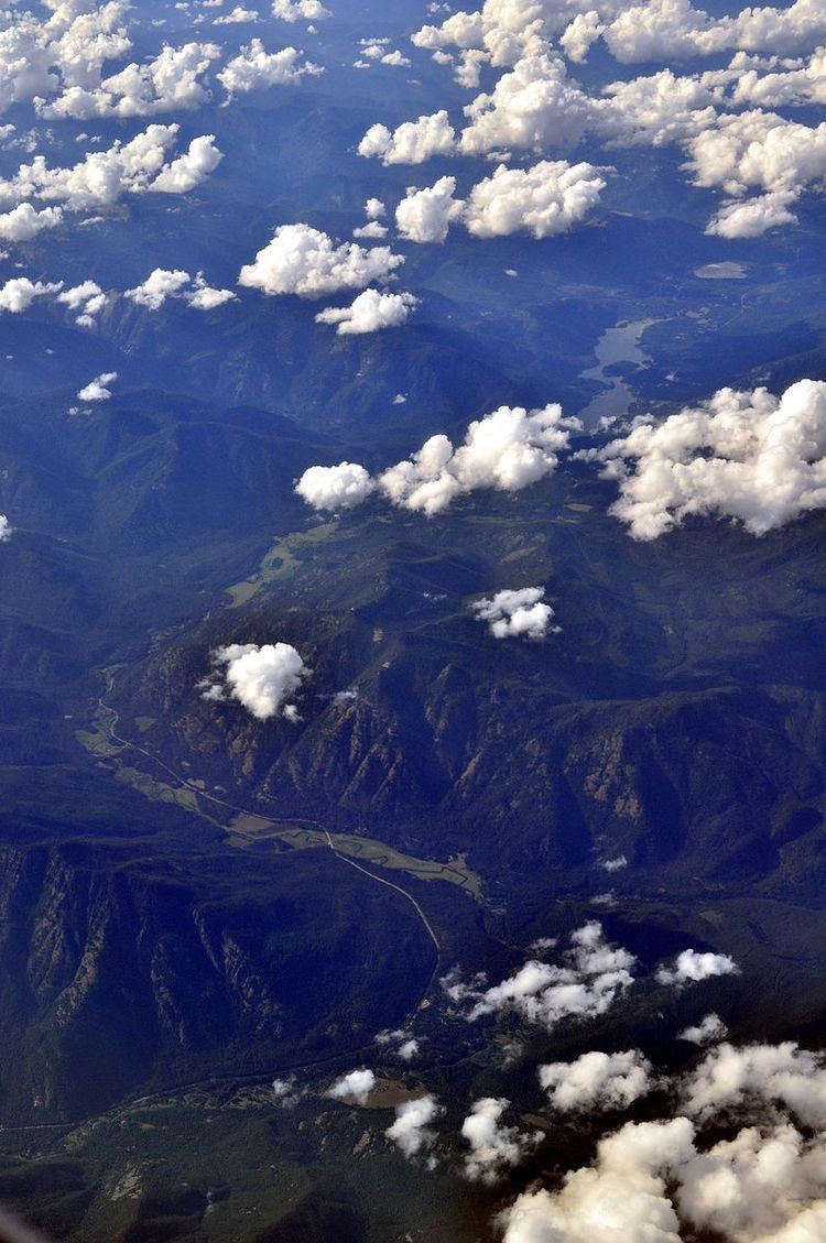 | ||
Highway 56 in the U.S. State of Montana is a route running in a northerly direction from an intersection with Montana Highway 200 between Noxon and Heron at an area locally known as "Bull River Junction", about 10 miles (16 km) east of the Idaho state line. The highway extends approximately 35 miles (56 km) to a northern terminus at an intersection with U.S. Route 2, about 3 miles (4.8 km) east of the town of Troy. The highway passes through a forested, mountainous landscape, and travels along the eastern shore of Bull Lake; the Cabinet Mountains are to the east. The entire route is within the boundary of the Kootenai National Forest. Highway 56 is known locally as the "Bull Lake Road" and "Bull River Highway."
Contents
Map of MT-56, Montana, USA
History
Before receiving its current designation, Highway 56 was designated as Montana Secondary Highway 202.