
Country United States FIPS code 30-35875 Elevation 686 m Zip code 59844 Area code Area code 406 | Time zone Mountain (MST) (UTC-7) GNIS feature ID 0784801 Area 8.8 km² Population 149 (2000) | |
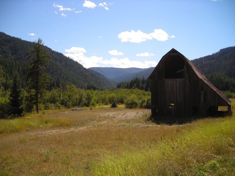 | ||
Heron is a census-designated place (CDP) in Sanders County, Montana. The population was 149 at the 2000 census.
Contents
Map of Heron, MT 59844, USA
Geography
Heron is located at 48°3′27″N 115°57′37″W (48.057437, -115.960373).
According to the United States Census Bureau, the CDP has a total area of 3.4 square miles (8.8 km2), all land.
Demographics
As of the census of 2000, there were 149 people, 58 households, and 41 families residing in the CDP. The population density was 43.9 people per square mile (17.0/km²). There were 63 housing units at an average density of 18.6 per square mile (7.2/km²). The racial makeup of the CDP was 94.63% White, 3.36% Native American, 0.67% Asian, and 1.34% from two or more races.
There were 58 households out of which 32.8% had children under the age of 18 living with them, 67.2% were married couples living together, 3.4% had a female householder with no husband present, and 29.3% were non-families. 29.3% of all households were made up of individuals and 12.1% had someone living alone who was 65 years of age or older. The average household size was 2.57 and the average family size was 3.20.
In the CDP, the population was spread out with 30.9% under the age of 18, 2.7% from 18 to 24, 24.8% from 25 to 44, 27.5% from 45 to 64, and 14.1% who were 65 years of age or older. The median age was 42 years. For every 100 females there were 98.7 males. For every 100 females age 18 and over, there were 98.1 males.
The median income for a household in the CDP was $28,750, and the median income for a family was $31,875. Males had a median income of $27,500 versus $20,000 for females. The per capita income for the CDP was $14,725. There were 15.8% of families and 18.2% of the population living below the poverty line, including 4.9% of under eighteens and 8.7% of those over 64.