
Country United States GNIS feature ID 453693 Local time Sunday 10:23 AM | FIPS code 18-56898 Elevation 203 m Population 1,769 (2010) | |
 | ||
Weather 14°C, Wind S at 13 km/h, 96% Humidity Area 80.99 km² (80.5 km² Land / 49 ha Water) | ||
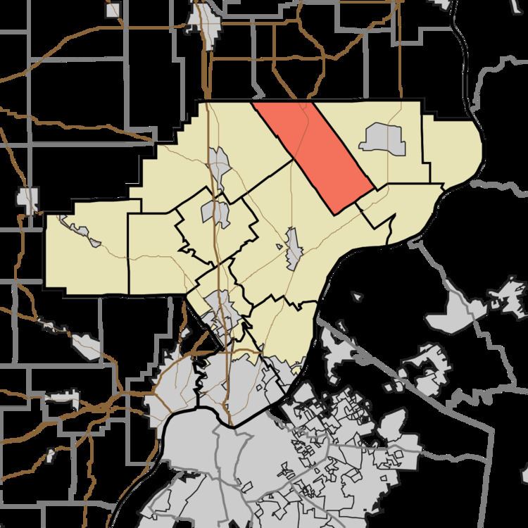
Oregon Township is one of twelve townships in Clark County, Indiana. As of the 2010 census, its population was 1,769 and it contained 692 housing units.
Contents
- Map of Oregon Township IN USA
- History
- Geography
- Unincorporated towns
- Adjacent townships
- Major highways
- Cemeteries
- References
Map of Oregon Township, IN, USA
History
Oregon Township was organized in 1852. Oregon Township was purportedly so named because at the time of the township's organization, it was sparsely inhabited and considered as remote as the Oregon Territory.
Geography
According to the 2010 census, the township has a total area of 31.27 square miles (81.0 km2), of which 31.08 square miles (80.5 km2) (or 99.39%) is land and 0.19 square miles (0.49 km2) (or 0.61%) is water.
Unincorporated towns
(This list is based on USGS data and may include former settlements.)
Adjacent townships
Major highways
Cemeteries
The township contains several cemeteries: Beswick (aka Walnut Hill), Covert, Emmanuel United Methodist Church, Goben, Hebron, Kern, Otisco, New Market Christian Church, New Market Presbyterian Church (aka Mt. Vernon), Sawmill Road, States, and Webb Farm.