
Car plates BMN Area 1,382 km² | Seat Mońki Population 42,960 (2006) | |
 | ||
Gminas Total 7Gmina GoniądzGmina JasionówkaGmina JaświłyGmina KnyszynGmina KrypnoGmina MońkiGmina Trzcianne Points of interest Biebrza National Park, Osowiec Fortress, Twierdza Fort II Zarzeczny, Kościół św Agnieszki w Goniąd, Carska droga | ||
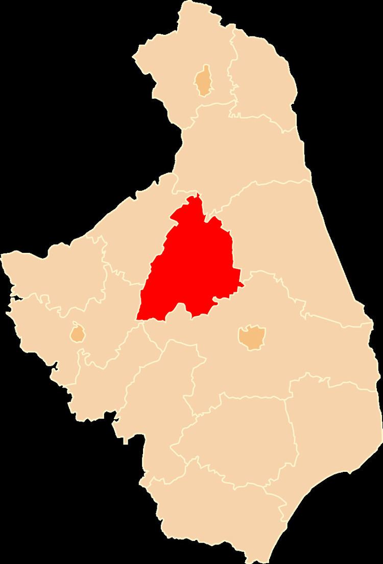
Mońki County (Polish: powiat moniecki) is a unit of territorial administration and local government (powiat) in Podlaskie Voivodeship, north-eastern Poland. It came into being on January 1, 1999, as a result of the Polish local government reforms passed in 1998. Its administrative seat and largest town is Mońki, which lies 40 kilometres (25 mi) north-west of the regional capital Białystok. The county also contains the towns of Knyszyn, lying 13 km (8 mi) south-east of Mońki, and Goniądz, 11 km (7 mi) north-west of Mońki.
Contents
Map of Mo%C5%84ki County, Poland
The county covers an area of 1,382.39 square kilometres (533.7 sq mi). As of 2006 its total population is 42,960, out of which the population of Mońki is 10,455, that of Knyszyn is 2,835, that of Goniądz is 1,910, and the rural population is 27,760.
Mońki County existed also between 1954 - 1975, but it was deleted after reform.
Neighbouring counties
Mońki County is bordered by Augustów County to the north, Sokółka County to the east, Białystok County to the south, Łomża County to the west and Grajewo County to the north-west.
Administrative division
The county is subdivided into seven gminas (three urban-rural and four rural). These are listed in the following table, in descending order of population.