
Car plates BGR | Area 967.2 km² | |
 | ||
Gminas Total 6 (incl. 1 urban)GrajewoGmina GrajewoGmina RadziłówGmina RajgródGmina SzczuczynGmina Wąsosz Website | ||
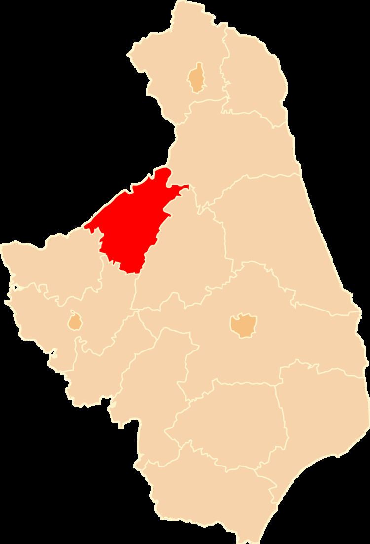
Grajewo County (Polish: powiat grajewski) is a unit of territorial administration and local government (powiat) in Podlaskie Voivodeship, north-eastern Poland. It came into being on January 1, 1999, as a result of the Polish local government reforms passed in 1998. Its administrative seat and largest town is Grajewo, which lies 76 kilometres (47 mi) north-west of the regional capital Białystok. The county also contains the towns of Szczuczyn, lying 15 km (9 mi) south-west of Grajewo, and Rajgród, 19 km (12 mi) north-east of Grajewo.
Contents
Map of Grajewo County, Poland
The county covers an area of 967.24 square kilometres (373.5 sq mi). As of 2006 its total population is 50,120, out of which the population of Grajewo is 22,651, that of Szczuczyn is 3,564, that of Rajgród is 1,673, and the rural population is 22,232.
Neighbouring counties
Grajewo County is bordered by Ełk County to the north, Augustów County to the east, Mońki County to the south-east, Łomża County to the south, Kolno County to the south-west and Pisz County to the west.
Administrative division
The county is subdivided into six gminas (one urban, two urban-rural and three rural). These are listed in the following table, in descending order of population.