
Car plates BIA | Area 2,985 km² | |
 | ||
Gminas Total 15Gmina ChoroszczGmina Czarna BiałostockaGmina Dobrzyniewo DużeGmina GródekGmina Juchnowiec KościelnyGmina ŁapyGmina MichałowoGmina PoświętneGmina SupraślGmina SurażGmina Turośń KościelnaGmina TykocinGmina WasilkówGmina ZabłudówGmina Zawady Points of interest Białostockie Muzeum Wsi, Jurajski Park Dinozaur, Suprasl, Muzeum Ikon Oddział, Knyszyń Forest Landscap Destinations | ||
Białystok County (Polish: powiat białostocki) is a unit of territorial administration and local government (powiat) in Podlaskie Voivodeship, north-eastern Poland, on the border with Belarus. It was created on 1 January 1999 as a result of the Polish local government reforms passed in 1998. Its administrative seat is the city of Białystok, although the city is not part of the county (it constitutes a separate city county). The county contains nine towns: Łapy, 25 km (16 mi) south-west of Białystok, Czarna Białostocka, 22 km (14 mi) north of Białystok, Wasilków, 11 km (7 mi) north of Białystok, Choroszcz, 13 km (8 mi) west of Białystok, Supraśl, 16 km (10 mi) north-east of Białystok, Michałowo, 13 km (8 mi) east of Białystok, Zabłudów, 16 km (10 mi) south-east of Białystok, Tykocin, 29 km (18 mi) west of Białystok, and Suraż, 23 km (14 mi) south-west of Białystok.
Contents
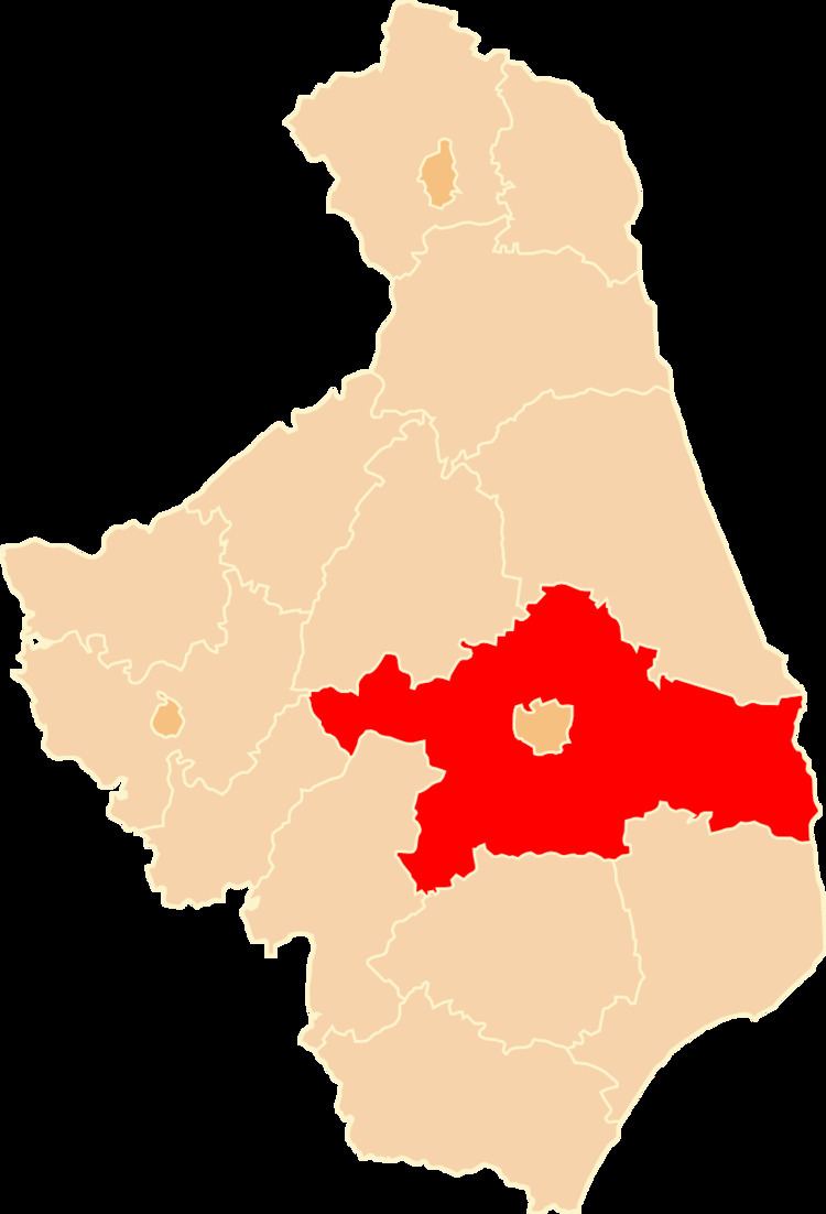
Map of bia%C5%82ostocki, Poland
The county covers an area of 2,984.64 square kilometres (1,152.4 sq mi), making it the largest county in Poland (ahead of Olsztyn County). As of 2006 its total population is 136,797, out of which the population of Łapy is 16,583, that of Czarna Białostocka is 9,596, that of Wasilków is 8,967, that of Choroszcz is 5,416, that of Supraśl is 4,578, that of Michałowo is 3,343, that of Zabłudów is 2,400, that of Tykocin is 1,893, that of Suraż is 982, and the rural population is 83,039.
Neighbouring counties
Apart from the city of Białystok, Białystok County is bordered by Hajnówka County and Bielsk County to the south, Wysokie Mazowieckie County, Zambrów County and Łomża County to the west, Mońki County to the north-west, and Sokółka County to the north-east. It also borders Belarus to the east.
Administrative division
The county is subdivided into 15 gminas (nine urban-rural and six rural). These are listed in the following table, in descending order of population.