
- Primary inflow | Elevation 256 m | |
 | ||
Similar Balsam Lake, Talbot River, Cameron Lake, Cranberry Lake, Four Mile Lake | ||
Mitchell Lake is a small, man-made lake in the Great Lakes Basin and located in the city of Kawartha Lakes in Central Ontario, Canada. The lake was formed sometime in the first decade of the twentieth century alongside the construction of the Kirkfield Lift Lock, which was completed and operational by the end of 1907. It is part of the summit of the Trent-Severn Waterway, the middle of a connection via canals of Balsam Lake on the Gull River system, which flows eventually to Lake Ontario, and the Kirkfield Lift Lock and Canal Lake on the Talbot River system, which flows to Lake Simcoe and eventually to Lake Huron.
Contents
Map of Mitchell Lake, Kawartha Lakes, ON, Canada
HistoryEdit
Prior to flooding, the Grass River (now Grass Creek) flowed through the centre of marshland above which the current lake sits in Eldon Township, Victoria County. It entered from the south-west, reaching Fennel Road (Kawartha Lakes Road 35) where it now crosses the Trent Canal. From here it turned west and followed the same course as the modern canal to Portage Road (formerly Ontario Highway 48, today Kawartha Lakes Road 48). Passing under the road, it resumed a north-easterly course towards the village of Victoria Road, where it flowed as it continues to today, now controlled by a dam, westward into the Talbot River.
Modern Mitchell LakeEdit
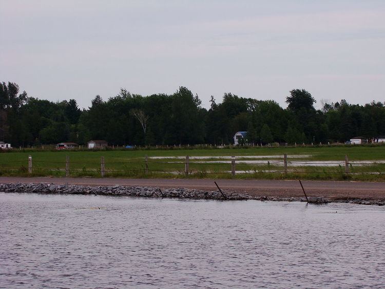
Like many of the lakes of the Kawarthas, Mitchell Lake enjoys use by recreational cottagers. However, most of the lake is relatively shallow (Between 3 and 6 feet deep), swampy, and filled with partially or wholly submerged tree stumps remaining from before the flooding. As such, cottages are sparse outside of the canal zone and south eastern section of the lake. The shallow south-western section of the lake is isolated from the rest by Hartley Road, which crosses the lake by causeway, and is only navigable by canoe.
The former path of the Grass River north of Kawartha Lakes 48 is still visible beneath the shallow and undisturbed waters of the lake.