
Length 130 km | ||
 | ||
Countries Canada, United States of America | ||
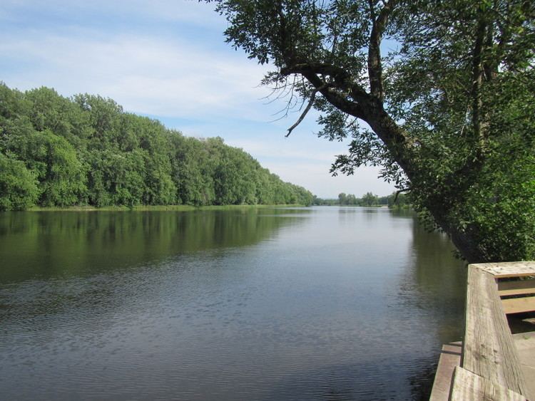
The Missisquoi River is a tributary of Lake Champlain, approximately 80 mi (130 km) long, in northern Vermont in the United States and southern Quebec in Canada. It drains a rural area of the northern Green Mountains along the Canada–US border northeast of Lake Champlain, and an area of Quebec's Eastern Townships. The South Branch rises in Vermont and runs generally from southeast to northwest; the North Branch rises in Lake d'Argent in Eastman, Quebec, and runs from north to south. The North Branch and the South Branch join at Highwater, Quebec, just downriver from North Troy, Vermont. The river then runs in Quebec for approximately 15 miles (24 km), re-entering Vermont at Richford and thence to Lake Champlain's Missisquoi Bay.
Contents
- Map of Missisquoi River
- EtymologyEdit
- CourseEdit
- TributariesEdit
- Natural historyEdit
- HistoryEdit
- References
Map of Missisquoi River
EtymologyEdit
The name of the river is derived from an Algonquian Abenaki word "Masipskoik", meaning "[Place where there are] Large Rocks", referring to boulders found at the river's alluvial fan..
CourseEdit
The South Branch of the Missisquoi rises in western Orleans County, Vermont, southwest of Lowell near Belvidere Mountain, then flows north past Troy and North Troy entering Quebec at Highwater, where it joins the North Branch. The North Branch of the Missisquoi rises in Lake Eastman, Quebec, and runs about 25 miles (40 km) through Eastman, Bolton Centre, East Bolton, South Bolton, and Mansonville, before joining the South Branch at Highwater, Quebec. The Missisquoi then loops to the southwest through Dunkin and Glen Sutton, Quebec, to reenter Vermont at East Richford in northeastern Franklin County.
It flows west through northern Franklin County approximately 10 miles (16 km) south of the Canada–US border, past the small communities of Richford, East Berkshire, Enosburg Falls, and Sheldon Springs. On the west side of Interstate 89 in northwestern Franklin County, it turns to the north, passing through Missisquoi National Wildlife Refuge in its lower 5 miles (8 km) before entering the south end of Missisquoi Bay, an arm of Lake Champlain that straddles the Canada-Vermont border.
TributariesEdit
Named tributaries in Vermont are: Taft Brook in Westfield, Beetle Brook in Troy, Jay Brook in Jay, Stanhope Brook in Richford, the Trout River in Montgomery, Tyler Branch in Enosburg, Black Creek in Sheldon and Fairfield, and Hungerford Brook in Swanton and Highgate.
Natural historyEdit
The river contains 56 of Vermont's 92 fish species.
HistoryEdit
The river was an Abenaki canoe route from the Lake Champlain drainage to the Saint-François River drainage. The river supports canoe traffic from Lake Champlain to Mansonville, Quebec, where there is a falls. From there, an ancient portage (carrying place) runs 6 miles (9.7 km) to Perkins Landing on Lake Memphremagog. Abenaki groups met seasonally on the bluffs at Eagle Point in Newport, Vermont, to catch and dry whitefish.
The Missisquoi Valley was among the first areas of Southern Quebec's Eastern Townships to be settled by Loyalist refugees who came upriver from camps on Missisquoi Bay.
In September 2008 the government of the United States approved a bill to study the Missisquoi and Trout rivers for potential designation as Wild and Scenic Rivers. It passed the House with bi-partisan support, which could potentially receive permanent protection in the National Wild and Scenic Rivers System. River sections being considered for Wild and Scenic designation are as follows:
A Study Committee composed of local appointees and partner organizations has been evaluating the Wild and Scenic Designation of the upper Missisquoi and Trout rivers. The group's mission is to facilitate the transfer of information between the ten communities through which the rivers flow - Berkshire, Town of Enosburgh, Village of Enosburg Falls, Jay, Lowell, Montgomery, Village of North Troy, Richford, Westfield, and the Town of Troy, and evaluate the potential benefits of the Wild & Scenic designation. At the end of the study in 2012, the committee is scheduled to provide an assessment as to whether the rivers fit designation criteria and whether designation is supported, and make recommendations of voluntary strategies for protection of the rivers' resources.
As a result of the National Park Service and Study Committee recommendation, 46.1 miles (74.2 km) of the Missisquoi River and Trout Brook were added to the National Wild and Scenic River System on December 19, 2014, by Public Law 113-291.