
Area 809 km² | ||
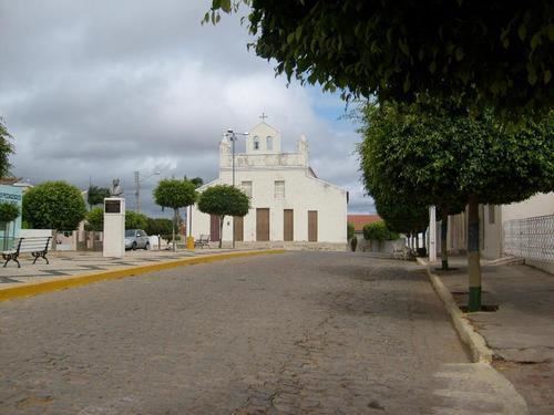 | ||
Mirandiba is a city in the state of Pernambuco, Brazil. The population in 2009, according with IBGE was 13.810 inhabitants and the total area is 809.26 km².
Contents
Map of Mirandiba - State of Pernambuco, Brazil
Geography
The municipality was designated a priority area for conservation and sustainable use when the Caatinga Ecological Corridor was created in 2006.
Economy
The main economic activities in Mirandiba are based in commerce and agribusiness, especially creation of goats, sheep, pigss, cattle, chickens; and plantations of tomatoes and beans.
Economic Indicators
Economy by Sector 2006
References
Mirandiba Wikipedia(Text) CC BY-SA