
Population 283 (2006 census) Elevation 500 m | Postcode(s) 0872 Mean max temp Mean min temp Postal code 0872 | |
 | ||
LGA(s) Anangu Pitjantjatjara Yankunytjatjara | ||
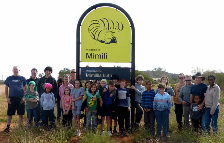
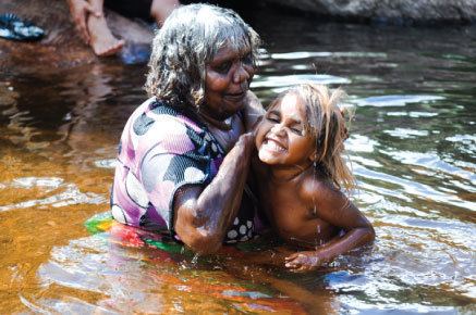
Mimili is an Aboriginal community in the Anangu Pitjantjatjara Yankunytjatjara Lands in South Australia, comprising one of the six main communities on "The Lands" (the others being Amata, Ernabella/Pukatja, Fregon/Kaltjiti, Indulkana and Pipalyatjara). At the 2006 census, Mimili had a population of 283.
Contents
Geography
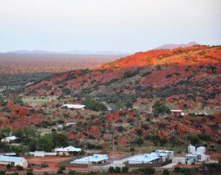
Mimili ((26.99949°S 132.707634°E / -26.99949; 132.707634)) (-26.99949, 132.707634) is situated 70 kilometres west of the Stuart Highway and is approximately 1 hour's drive from Marla Bore. Mimili is situated amongst mountains in the Everard Ranges.
Climate
Based upon the climate records of the nearest weather station at Marla Police Station, Mimili experiences summer maximum temperatures of an average of 37.1 °C in January and a winter maximum average temperature of 19.7 °C in June. Overnight lows range from a mean minimum temperature of 21.8 °C in January to 5.0 °C in June.
Annual rainfall averages 222.6 millimetres.
Population
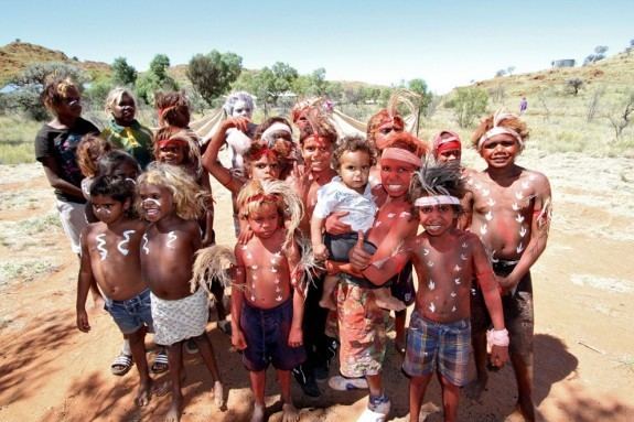
Mimili's population is approximately 300 people. The residents are mainly Anangu people who speak either Pitjantjatjara or Yankunytjatjara as their first language.
2001 Australian Bureau of Statistics Census data indicated that Mimili had one of the highest proportions of 0-14 year olds in South Australia (32.6%), the lowest median weekly income ($172 AUD compared with a Statewide average of $345), one of the highest proportions of indigenous Australian residents (89.8%) and near-equal highest ratio of Australian-born residents (98.1%). Mimili has one of the State's lowest rates of home personal computer usage (5.3%) and the State's highest ratio of single-parent families (36.0% compared with a Statewide average of 15.6%).
History
According to the Aboriginal people, Mimili was the name the area was always known as. It is described as the site of the "maku" or "witchetty grub" dreaming.
After European settlement, a cattle station called "Everard Park" was operated in the area - giving its name to the mountain range that surrounds what is now the township of Mimili.
Mimili was returned to the ownership of the traditional owners in 1972.
Facilities
Mimili has an airstrip and a health facility known as Nganampa Health Mayatjar. There are council facilities. Diesel power generation facilities supply power to the community. Water is provided from 2 bores and placed in storage tanks for pumping to the community.
The Mimili Anangu school has an enrolment of approximately 60 children. Attendance at the school benefited from the construction of a swimming pool in a joint Commonwealth / State Government initiative that was operational in September 2006 and officially opened the following month on 28 October 2006 by Minister Assisting the Prime Minister for Families, Communities and Indigenous Affairs Mal Brough.
There is also a general store and a craft facility where indigenous art is made and exhibited.
The Uniting Church in Australia has a congregation in the area.
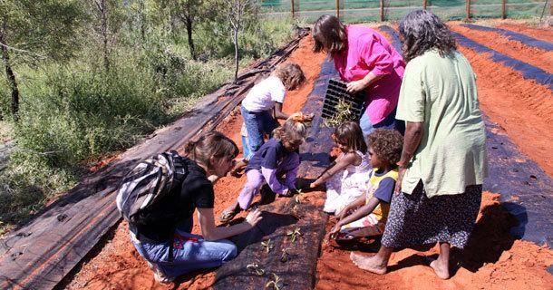
Mimili was the first community in the APY Lands to create a bush foods garden. The garden is a source of training and education for students of technical and further education (or "TAFE") in the Mimili area.
Mimili has a permanent South Australian police presence. With a police station being completed in mid-2011.
A mobile polling booth visits Mimili for elections every 4 years to elect the Parliament of South Australia.
A permit is required for a member of the public to visit any community on the APY Lands, as they are freehold lands owned by the Aboriginal people.