Country United States County Vermilion Time zone CST (UTC-6) Elevation 220 m Local time Tuesday 11:03 AM | Created 1851 GNIS feature ID 0429359 Area 165 km² Population 1,458 (2010) | |
 | ||
Weather 9°C, Wind N at 18 km/h, 63% Humidity | ||
Middlefork Township is a township in Vermilion County, Illinois, USA. As of the 2010 census, its population was 1,458 and it contained 628 housing units.
Contents
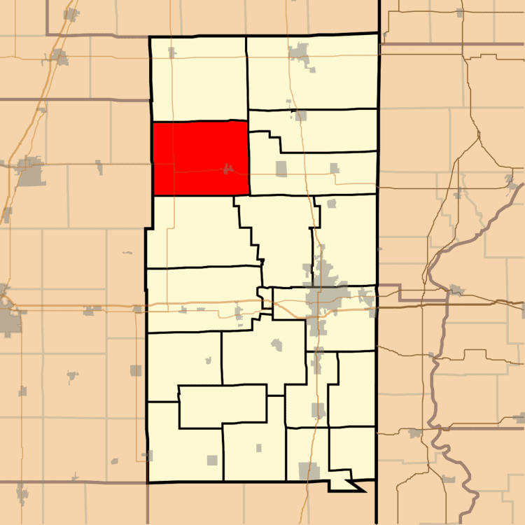
- Map of Middlefork Township IL USA
- History
- Geography
- Cities and towns
- Unincorporated towns
- Extinct towns
- Adjacent townships
- Cemeteries
- Major highways
- References
Map of Middlefork Township, IL, USA
History
Middlefork Township was one of the eight townships created in 1851 and included all the land that later became Butler and Ford Townships.
The first settlers in the township were Samuel Partlow and his wife and four sons, who arrived from Kentucky in 1829. A harsh winter caused the loss of all their cattle, and there was little game available for food; Samuel died that year and the family returned to Kentucky. However, the next year, they came back again.
Geography
According to the 2010 census, the township has a total area of 63.72 square miles (165.0 km2), of which 63.7 square miles (165 km2) (or 99.97%) is land and 0.02 square miles (0.052 km2) (or 0.03%) is water. The streams of Bean Creek, Bluegrass Creek and Knights Branch run through this township.
Cities and towns
Unincorporated towns
Extinct towns
Adjacent townships
Cemeteries
The township contains seven cemeteries: Ingersoll, Old Partlow, Old Sowdowsky, Outton Family, Partlow, Potomac and Wallace Chapel.
