
Country United States Time zone CST (UTC-6) Elevation 206 m Local time Monday 11:24 PM | Created 1927 GNIS feature ID 0429778 Area 139.3 km² Population 1,070 (2010) | |
 | ||
Weather 9°C, Wind N at 21 km/h, 97% Humidity | ||
South Ross Township is a township in Vermilion County, Illinois, USA. As of the 2010 census, its population was 1,070 and it contained 445 housing units.
Contents
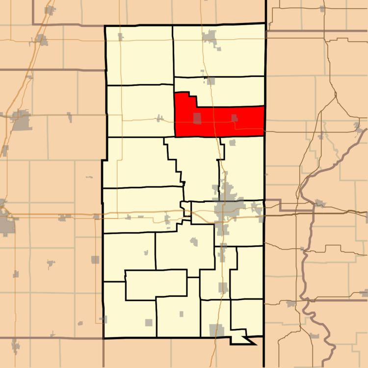
- Map of South Ross Township IL USA
- History
- Geography
- Cities and towns
- Extinct towns
- Adjacent townships
- Cemeteries
- Major highways
- References
Map of South Ross Township, IL, USA
History
South Ross township was created in 1927.
Geography
According to the 2010 census, the township has a total area of 53.77 square miles (139.3 km2), all land.
Cities and towns
Extinct towns
Adjacent townships
Cemeteries
The township contains one cemetery, Gundy.
Major highways
References
South Ross Township, Vermilion County, Illinois Wikipedia(Text) CC BY-SA