
Country United States Time zone CST (UTC-6) Elevation 215 m Local time Sunday 8:55 AM | Established November 8, 1859 GNIS feature ID 0429204 Area 57.63 km² Population 163 (2010) | |
 | ||
Weather -4°C, Wind W at 0 km/h, 60% Humidity | ||
Kerr Township is a township in Champaign County, Illinois, USA. As of the 2010 census, its population was 163 and it contained 66 housing units.
Contents
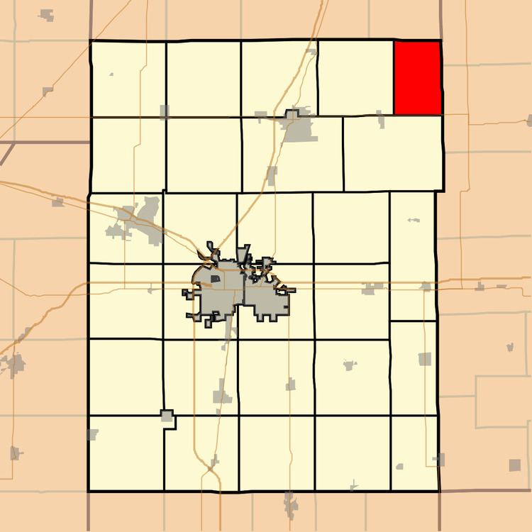
Map of Kerr Township, IL, USA
History
Kerr Township changed its name from Middlefork Township on April 30, 1860.
Geography
According to the 2010 census, the township has a total area of 22.25 square miles (57.6 km2), of which 22.11 square miles (57.3 km2) (or 99.37%) is land and 0.14 square miles (0.36 km2) (or 0.63%) is water. The stream of Sugar Creek runs through this township.
Cemeteries
The township contains four cemeteries: Chenoweth, Patton, Peabody and Tomlinson.
Major highways
References
Kerr Township, Champaign County, Illinois Wikipedia(Text) CC BY-SA