 | ||
Midcontinent rift system uuraf 2013
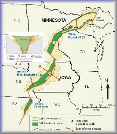
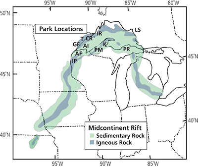
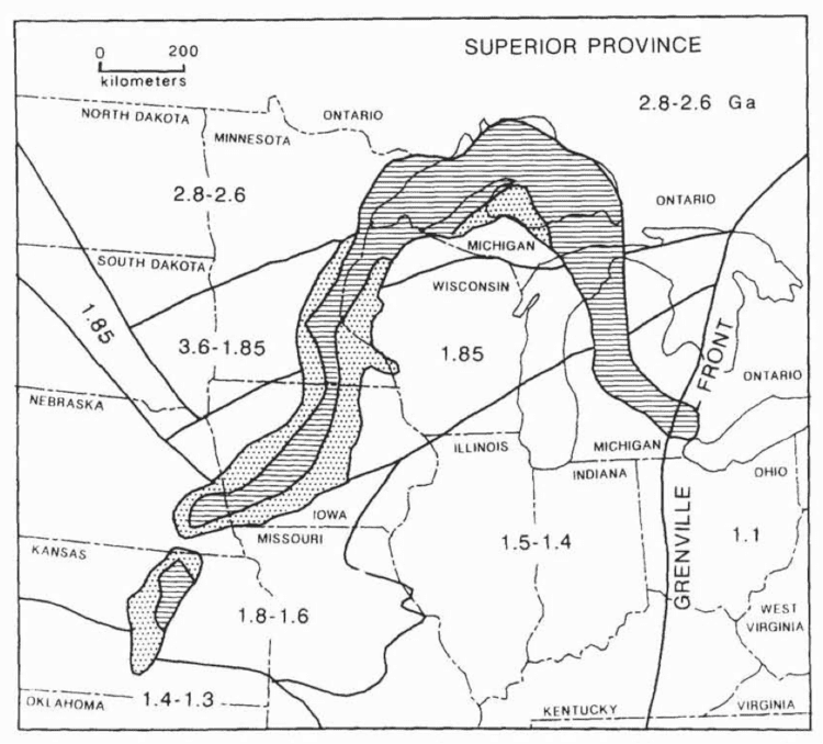
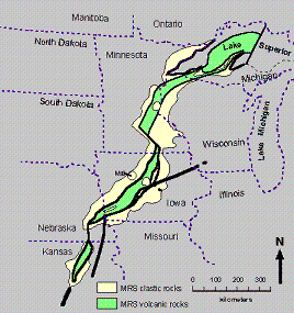
The Midcontinent Rift System (MRS) or Keweenawan Rift is a 2,000 km (1,200 mi) long geological rift in the center of the North American continent and south-central part of the North American plate. It formed when the continent's core, the North American craton, began to split apart during the Mesoproterozoic era of the Precambrian, about 1.1 billion years ago. The rift failed, leaving behind thick layers of rock that are exposed in its northern reaches, but buried beneath later sedimentary formations along most of its western and eastern arms. Those arms meet at Lake Superior, which is contained within the rift valley. The lake's north shore in Ontario and Minnesota defines the northern arc of the rift. From the lake, the rift's eastern arm trends south to central lower Michigan. The western arm runs from Lake Superior southwest through portions of Wisconsin, Minnesota, Iowa, and Nebraska to northeastern Kansas.
Contents
Formation and failure
The rock formations created by the rift included gabbro and granites from magma and basalts from lava. In the Lake Superior region, the upwelling of this molten rock may have been the result of a hotspot which produced a triple junction. The hotspot made a dome that covered the Lake Superior area. Voluminous basaltic lava flows erupted from the central axis of the rift, similar to the present-day rifting under way in the Afar Depression of the East African Rift system. The southwest and southeast extensions represent two arms of the triple junction while a third failed arm extends north into Ontario as the Nipigon Embayment. This failed arm includes Lake Nipigon, Ontario.
It is possible that the rift was the result of extensional forces behind the continental collision of the Grenville Orogeny to the east which in part overlaps the timing of the rift development. Later compressive forces from the Grenville Orogeny likely played a major role in the rift's failure and closure. Had the rifting process continued, the eventual result would have been sundering of the North American craton and creation of a sea. The Midcontinent Rift appears to have progressed almost to the point where the ocean intruded. But after about 15–22 million years the rift failed. The Midcontinent Rift is the deepest closed or healed rift yet discovered; no known deeper rift ever failed to become an ocean.
The rift today
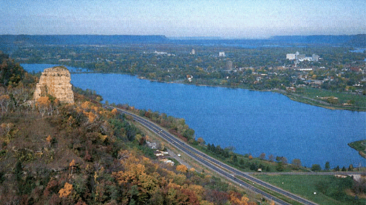
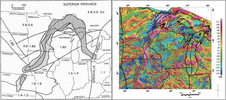
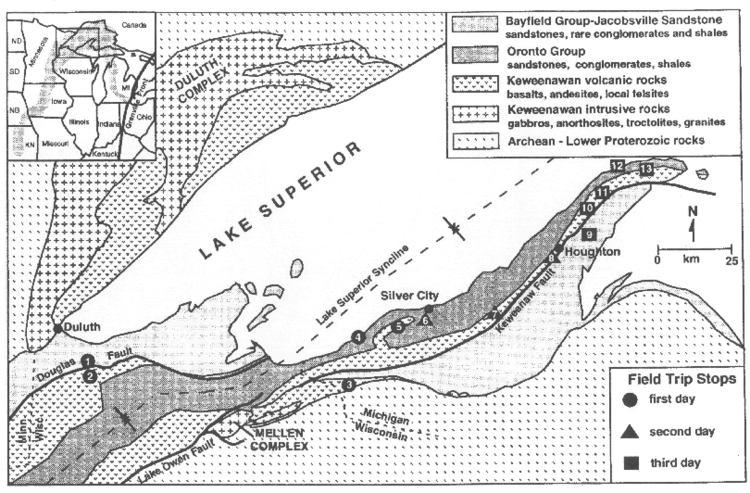
Lake Superior occupies a basin created by the rift. Near the lake, rocks produced by the rift can be found on the surface of Isle Royale and the Keweenaw Peninsula of the Upper Peninsula of Michigan, northwest Wisconsin, and on the North Shore of the lake in Minnesota and Ontario. Similar rocks are exposed as far south as Interstate Park near Saint Paul, Minnesota, but elsewhere the rift is buried beneath more recent sedimentary rocks up to 9 km (6 mi) thick. Where buried, the rift has been mapped by gravity anomalies (its dense basaltic rock increases gravity locally), aeromagnetic surveys, and seismic data.
A slightly older but possibly related geologic feature is the 2,700,000 km2 (1,000,000 sq mi) Mackenzie Large Igneous Province in Canada, which extends from the Arctic in Nunavut to near the Great Lakes in Northwestern Ontario.
