
Length 2,364 km | ||
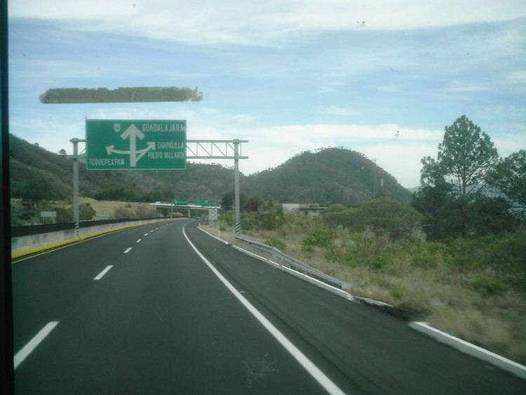 | ||
Major cities Mexico City, Guadalajara, Culiacán, Los Mochis, Hermosillo, Morelia, Tepic, Ciudad Obregón, Santa Ana, Ímuris | ||
Federal Highway 15, Mexico 15 International Highway or Mexico-Nogales Highway is a primary north-south highway in Mexico. The highway begins in the north at the Mexico–United States border at the Nogales Port of Entry in Nogales, Sonora, and terminates to the south in Mexico City. Many stretches of Federal Highway 15 from Nogales to Mazatlán are split into two routes: a free and a toll road (FH 15D); the portion of this northern stretch from the town of Eldorado southward within the state of Sinaloa is a limited-access highway. North of the U.S.-Mexico border, the highway continues to the north from the Port of Entry, as I-19 Business.
Contents
Map of M%C3%A9xico 15, Mexico
The highway is the southern terminus of the CANAMEX Corridor, a trade corridor that stretches from Mexico north across the United States to the Canadian province of Alberta.