
Islands Piram Island | ||
 | ||
Similar Gulf of Mannar, Palk Strait, Tapti River | ||
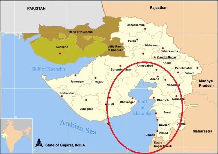
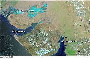
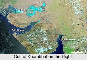
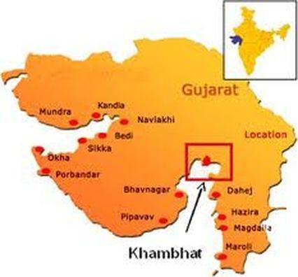
The Gulf of Khambhat (also known as the Gulf of Cambay) is an inlet of the Arabian Sea along the west coast of India, in the state of Gujarat. About 130 kilometres (80 mi) miles in length, it divides the Kathiawar Peninsula from the south-eastern part of Gujarat.
Contents
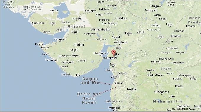
The Narmada, Tapti, Mahi and Sabarmati rivers drain into it. There are plans to construct a 30-kilometre (19 mi) dam across the gulf.
Gulf of cambay gulf of khambhat gujarat india arabian sea
Wildlife
To the west of the Gulf, Asiatic lions inhabit the Gir Forest National Park and its surroundings, the region of Kathiawar or Saurashtra. To the east of the Gulf, the region of the Dangs' Forest and Shoolpaneshwar Wildlife Sanctuary, where Gujarat meets Maharashtra and Madhya Pradesh, is a Bengal tiger habitat.
References
Gulf of Khambhat Wikipedia(Text) CC BY-SA