
 | ||
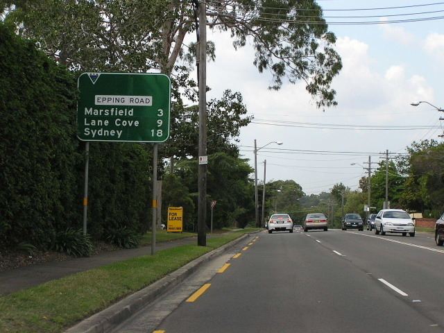
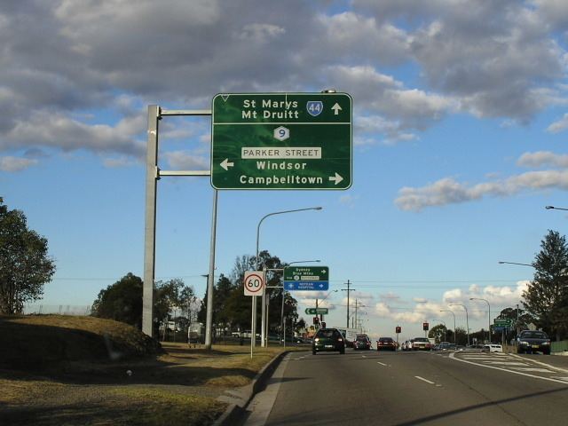
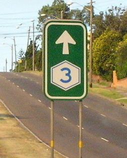
Metroad 9 sydney narellan road campbelltown to macquarie st windsor
Metroads were the primary road routes serving the Sydney and Brisbane metropolitan areas from the 1990s to the 2010s. The Metroads formed a network of radial and circumferential routes throughout the cities, simplifying navigation. Metroads have been progressively phased out in both Sydney and Brisbane, replaced by alphanumeric route numbers. Brisbane is the only city currently retaining the Metroad system.
Contents
- Metroad 9 sydney narellan road campbelltown to macquarie st windsor
- History
- Sydney Metroads
- Former Metroads
- Brisbane Metroads
- Current Metroads
- References
History
Historically, National Routes passed through city centres and formed some of the main thoroughfares within Australia's largest cities. However urban growth led to massive congestion in the inner city areas. To bypass these centres, new roads were either constructed or main suburban roads were linked together to form ring roads linking one National Route to the other. The earliest scheme was adopted in Sydney in 1964, the Ring Road scheme. They had special markers for identification.

Growth of urban sprawl made intra-urban navigation difficult. Many States introduced State Route systems in the 1960s, 1970s and 1980s and many roads within metropolitan areas were included. This scheme was adopted by most major cities. In Sydney the State Routes superseded the Ring Road scheme. Urban freeways in Sydney and Brisbane had their own route marking scheme.
However, it was later realised that the multiplicity of urban route marking schemes led to confusion. In the 1990s, these were streamlined in the new Metroad scheme. This scheme ensures that main priority routes are clearly identified and marked. As far as possible, urban freeways are absorbed into the system. It was adopted in Sydney in 1993 and Brisbane in 1996. Metroads usually completely replaced the State Routes and National Routes along their routes; however, State Routes not on designated Metroads were usually left untampered.
Metroad routes in both Sydney and Brisbane are being replaced by alphanumeric routes. Brisbane Metroads began to be phased out around 2010, with Sydney Metroads completely phased out at the end of 2013.
As of 2015, the Department of Main Roads in Queensland have no plans to convert/decommission the remaining Metroad sections within Brisbane.
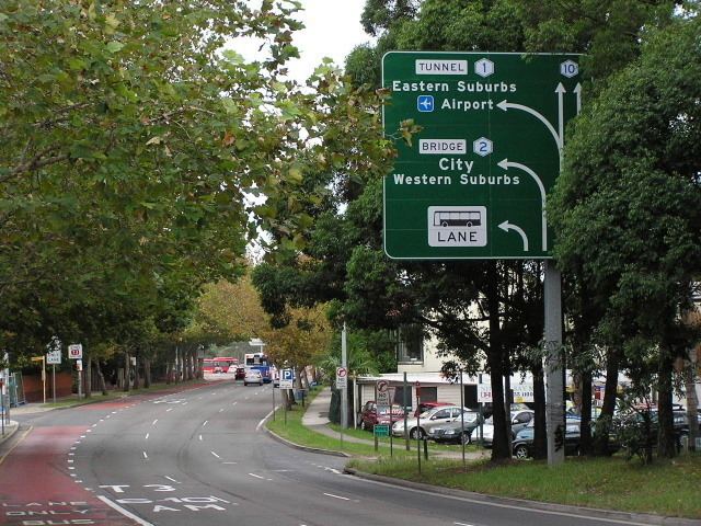
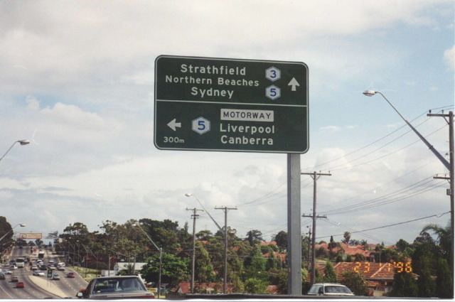
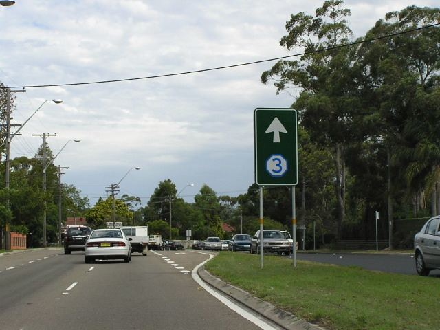
Sydney Metroads
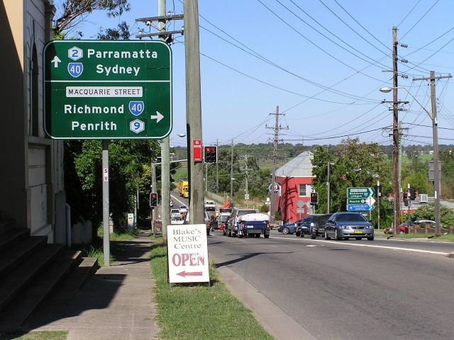
The Metroad navigation system was introduced to Sydney in 1992, with six routes (Metroads 1, 2, 3, 4, 5 and 7). The scheme was extended in 1998-1999 with the signposting of Metroads 6, 9 and 10 (there was never a Metroad 8). All Metroads in Sydney were completely replaced in 2013 with equivalent alphanumeric road markers.
Former Metroads
Sections of Metroads 1, 2, 5, and 7 formed the Sydney Orbital Network circumnavigating the Sydney metropolitan area.
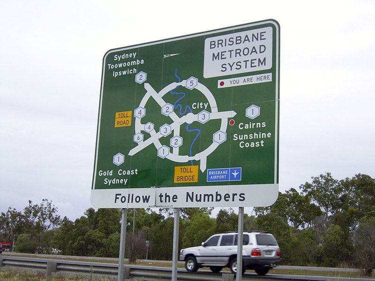
Brisbane Metroads
Brisbane's Metroad system employed odd numbers for north-to-south alignments and even numbers for east-to-west alignments. Most Metroads have since been completely or partially replaced with equivalent alphanumeric road markers. Brisbane is the only city currently retaining the Metroad system.