
Isolation 2.83 mi (4.55 km) Elevation 3,570 m | Easiest route hike Prominence 246 m | |
 | ||
Topo map USGS 7.5' topographic mapPoncha Pass, Colorado Similar Mount Shavano, Mount Ouray, Bald Mountain, Mount Princeton, Mount Antero | ||
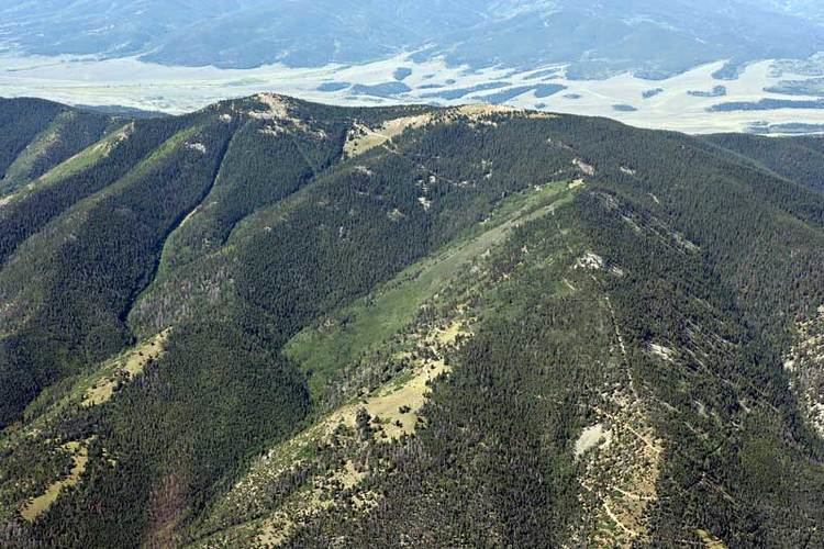
Methodist Mountain is a mountain summit in the northern Sangre de Cristo Range of the Rocky Mountains of North America. The 11,713-foot (3,570 m) peak is located 5.5 miles (8.8 km) south by west (bearing 191°) of the City of Salida, Colorado, United States, on the drainage divide separating San Isabel National Forest and Chaffee County from Rio Grande National Forest and Saguache County. Methodist Mountain is the northernmost peak of the Sangre de Cristo Mountains, which stretch south through southern Colorado to Santa Fe, New Mexico.
Map of Methodist Mountain, Colorado 81201, USA
References
Methodist Mountain Wikipedia(Text) CC BY-SA